File:Tüttensee, östliches Verlandungsmoor.png
Jump to navigation
Jump to search

Size of this preview: 514 × 600 pixels. Other resolutions: 206 × 240 pixels | 411 × 480 pixels | 658 × 768 pixels | 878 × 1,024 pixels | 1,755 × 2,048 pixels | 2,739 × 3,196 pixels.
Original file (2,739 × 3,196 pixels, file size: 45.94 MB, MIME type: image/png)
Captions
Captions
Add a one-line explanation of what this file represents
Summary
[edit]
| Description |
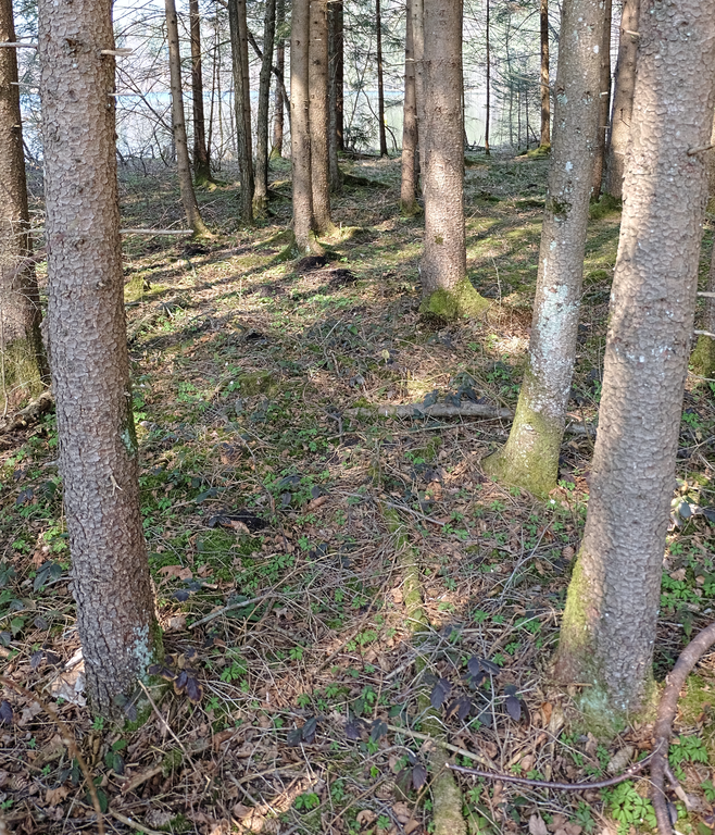
English: Tüttensee, moor in eastern part, protected shore zone
Deutsch: Tüttensee, Verlandungsmoor im östlichen Teil, Uferschutzzone |
| Date | |
| Source | Own work |
| Author | DaxBichler |
| Camera location | | View this and other nearby images on: OpenStreetMap |
|---|
- In diesem Bereich erfolgte die Probenentnahme zur Altersbestimmung der Tüttensee Hohlform. Details lassen sich im UmweltAtlas Bayern abrufen. [1]
- BayernAtlas Reliefkarte
reference
[edit]
| report | year | link |
|---|---|---|
| Kroemer Ernst: Sedimententnahme und Datierungen in der Verlandungszone des Tüttensees. | 2009 | LfU.Bayern.de - Kroemer Ernst: Sedimententnahme und Datierungen in der Verlandungszone des Tüttensees. PDF (0,7 MB) |
Licensing
[edit]
I, the copyright holder of this work, hereby publish it under the following license:
| This file is made available under the Creative Commons CC0 1.0 Universal Public Domain Dedication. | |
| The person who associated a work with this deed has dedicated the work to the public domain by waiving all of their rights to the work worldwide under copyright law, including all related and neighboring rights, to the extent allowed by law. You can copy, modify, distribute and perform the work, even for commercial purposes, all without asking permission.
|
File history
Click on a date/time to view the file as it appeared at that time.
| Date/Time | Thumbnail | Dimensions | User | Comment | |
|---|---|---|---|---|---|
| current | 21:34, 3 April 2019 | | 2,739 × 3,196 (45.94 MB) | DaxBichler (talk | contribs) | {{Information |description ={{en|1=Tüttensee, moor in eastern part, protected shore zone }} {{de|1=Tüttensee, Verlandungsmoor im östlichen Teil, Uferschutzzone }} |date =2019-04-01 |source ={{own}} |author =User:DaxBichler }} {{Location dec|47.84598|12.57106|region:DE-BY}} In diesem Bereich erfolgte die Probenentnahme zur Altersbestimmung der Tüttensee Hohlform. Category:Tüttensee |
You cannot overwrite this file.
File usage on Commons
There are no pages that use this file.