File:Szentendre térkép 2.jpg
Jump to navigation
Jump to search
Size of this preview: 800 × 590 pixels. Other resolutions: 320 × 236 pixels | 640 × 472 pixels | 1,024 × 755 pixels | 1,280 × 944 pixels | 2,653 × 1,957 pixels.
Original file (2,653 × 1,957 pixels, file size: 4.8 MB, MIME type: image/jpeg)
Captions
Captions
Add a one-line explanation of what this file represents
Summary
[edit]
| Description |
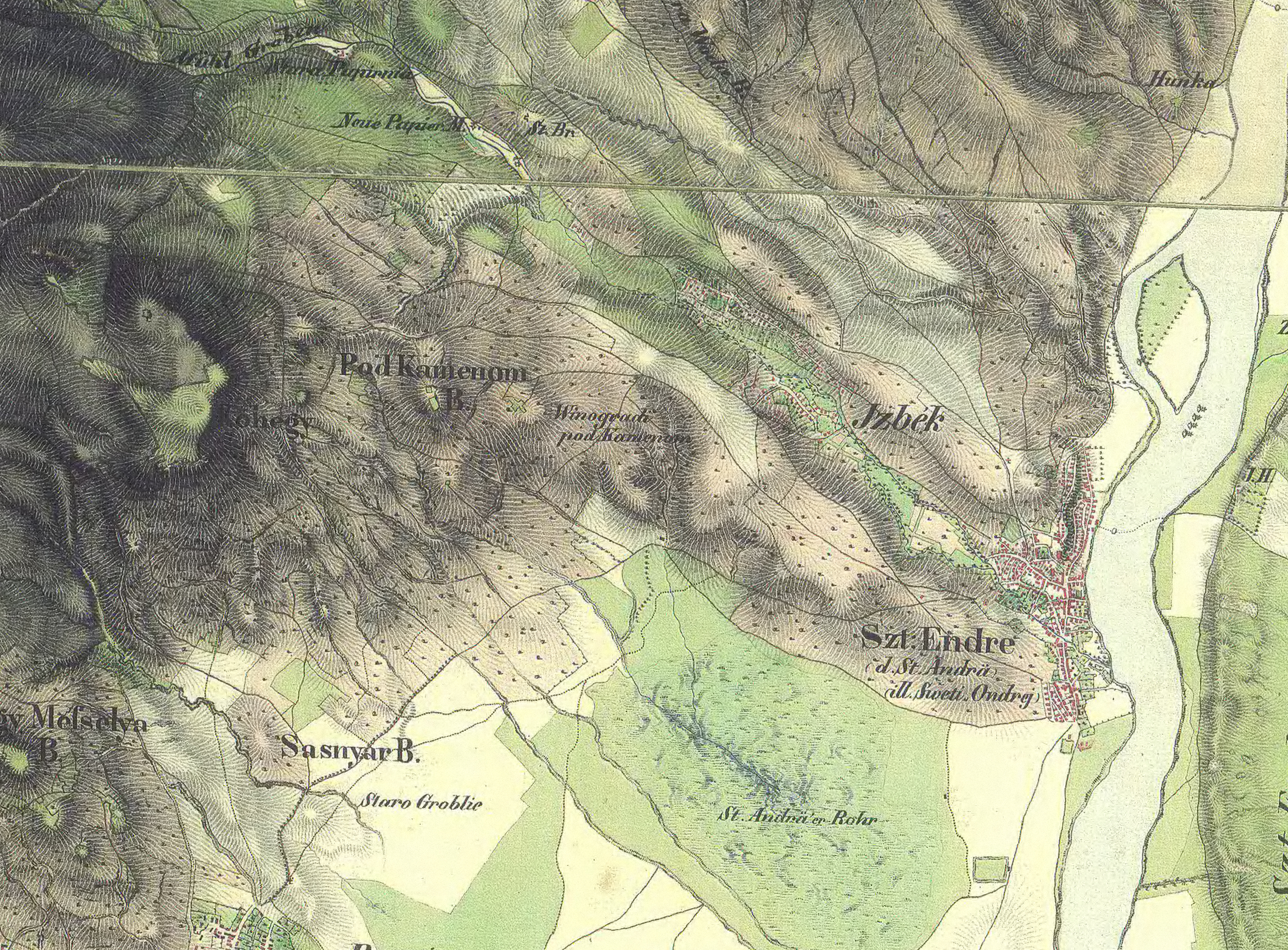
Magyar: A második katonai felmérés egyik szelvénye, a térképen Szentendre és környéke látható |
| Date | between 1806 and 1869 |
| Source | mapire.eu |
| Author | Császári és Királyi Hadsereg |
Licensing
[edit]
This work was published before January 1, 1929 and it is anonymous or pseudonymous due to unknown authorship. It is in the public domain in the United States as well as countries and areas where the copyright terms of anonymous or pseudonymous works are 95 years or fewer since publication.
|
File history
Click on a date/time to view the file as it appeared at that time.
| Date/Time | Thumbnail | Dimensions | User | Comment | |
|---|---|---|---|---|---|
| current | 11:47, 4 October 2009 | | 2,653 × 1,957 (4.8 MB) | Laszlovszky András (talk | contribs) | {{Információ | leírás = Szentendre topográfiai térképen | forrás = | dátum = 1806-1869 | helyszín = | szerző = Császári és Királyi Hadsereg | engedély = régi térkép | más változatok = }} |
You cannot overwrite this file.
File usage on Commons
There are no pages that use this file.
File usage on other wikis
The following other wikis use this file:
- Usage on cs.wikipedia.org
- Usage on hu.wikipedia.org