File:Szatmárcseke, Hungary - panoramio (23).jpg
Jump to navigation
Jump to search
Size of this preview: 799 × 238 pixels. Other resolutions: 320 × 95 pixels | 640 × 191 pixels | 1,024 × 305 pixels | 1,280 × 381 pixels | 4,115 × 1,226 pixels.
Original file (4,115 × 1,226 pixels, file size: 1.47 MB, MIME type: image/jpeg)
Captions
Captions
Add a one-line explanation of what this file represents
Summary
[edit].jpg&action=edit§ion=1)
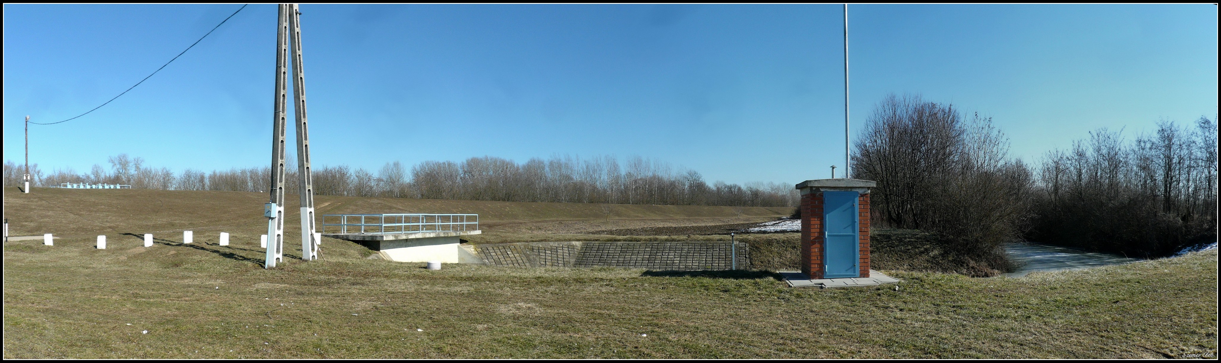
| Description | Szatmárcseke, Hungary | ||
| Date | Taken on 17 February 2015 | ||
| Source | https://web.archive.org/web/20161102083349/http://www.panoramio.com/photo/128311582 | ||
| Author | Szemes Elek | ||
| Permission (Reusing this file) |
This file is licensed under the Creative Commons Attribution-Share Alike 3.0 Unported license. Attribution: Szemes Elek
|
||
| Panoramio Tags | Szatmárcseke, 2015, Magyarország, Nagyar, Szabolcs-Szatmár-Bereg |
| Camera location | | View this and other nearby images on: OpenStreetMap |
|---|
.jpg¶ms=048.070986_N_0022.561149_E_globe:Earth_type:camera_source:Panoramio_&language=en)
| Annotations | This image is annotated: View the annotations at Commons |
.jpg)
File history
Click on a date/time to view the file as it appeared at that time.
| Date/Time | Thumbnail | Dimensions | User | Comment | |
|---|---|---|---|---|---|
| current | 01:09, 25 June 2017 | 4,115 × 1,226 (1.47 MB) | Panoramio upload bot (talk | contribs) | == {{int:filedesc}} == {{Information |description=Szatmárcseke, Hungary |date={{Taken on|2015-02-17}} |source=http://www.panoramio.com/photo/128311582 |author=[http://www.panoramio.com/user/284747?with_photo_id=128311582 Szemes Elek] |permission={{cc-... |
You cannot overwrite this file.
File usage on Commons
There are no pages that use this file.
.jpg&oldid=677423281)