File:Swallow falls.jpg
Jump to navigation
Jump to search
No higher resolution available.
Swallow_falls.jpg (640 × 481 pixels, file size: 217 KB, MIME type: image/jpeg)
Captions
Captions
Add a one-line explanation of what this file represents
Summary
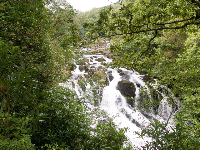
[edit]| Description | Swallow Falls near Betws-y-Coed | ||
| Date | |||
| Source | Uploaded to en.wikipedia by w:User:Hogyn Lleol. | ||
| Author | Photo by Brian Joyce | ||
| Permission (Reusing this file) |
This file is licensed under the Creative Commons Attribution-Share Alike 2.0 Generic license. Attribution: Brian Joyce
|

| Camera location | | View this and other nearby images on: OpenStreetMap |
|---|
File history
Click on a date/time to view the file as it appeared at that time.
| Date/Time | Thumbnail | Dimensions | User | Comment | |
|---|---|---|---|---|---|
| current | 17:28, 17 April 2008 | | 640 × 481 (217 KB) | Mattbuck (talk | contribs) | == Summary == {{Information |Description={{w|Swallow Falls}} near {{w|Betws-y-Coed}} |Source=Uploaded to en.wikipedia by User:Hogyn Lleol |Date=2004-09-17 |Author=Photo by Brian Joyce |other_versions= }} == Licensing == {{cc-by-sa-2.5}} |
You cannot overwrite this file.
File usage on Commons
There are no pages that use this file.
File usage on other wikis
The following other wikis use this file:
- Usage on cy.wikipedia.org
- Usage on de.wikipedia.org
- Usage on en.wikipedia.org
- Usage on en.wikivoyage.org
- Usage on fa.wikipedia.org
- Usage on frr.wikipedia.org
- Usage on mzn.wikipedia.org
- Usage on pnb.wikipedia.org
- Usage on ur.wikipedia.org