File:Suwa Taisha (Shimosha, Kaguraden) - panoramio.jpg
Jump to navigation
Jump to search

Size of this preview: 800 × 542 pixels. Other resolutions: 320 × 217 pixels | 640 × 434 pixels | 1,024 × 694 pixels | 1,280 × 867 pixels | 2,560 × 1,735 pixels | 7,167 × 4,856 pixels.
Original file (7,167 × 4,856 pixels, file size: 10 MB, MIME type: image/jpeg)
Captions
Captions
Add a one-line explanation of what this file represents
Summary
[edit]_-_panoramio.jpg&action=edit§ion=1)
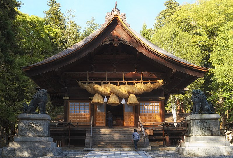
| Description | Suwa Taisha (Shimosha, Kaguraden) | ||
| Date | Taken on 5 May 2016 | ||
| Source | https://web.archive.org/web/20161103201926/http://www.panoramio.com/photo/130155919 | ||
| Author | FoxyStranger Kawasaki | ||
| Permission (Reusing this file) |
This file is licensed under the Creative Commons Attribution-Share Alike 3.0 Unported license. Attribution: FoxyStranger Kawasaki
|
||
| Panoramio Tags | Shimosuwa, 2016, Japan, Lake Suwa, Nagano, Shimo-Suwa, Shinto, shrine, Suwa, 下社, 下諏訪町, 日本, 神楽殿, 神社, 諏訪大社, 諏訪湖, 長野県 |
| Camera location | | View this and other nearby images on: OpenStreetMap |
|---|
_-_panoramio.jpg¶ms=036.075127_N_0138.090845_E_globe:Earth_type:camera_source:Panoramio_region:JP_&language=en)
File history
Click on a date/time to view the file as it appeared at that time.
| Date/Time | Thumbnail | Dimensions | User | Comment | |
|---|---|---|---|---|---|
| current | 15:33, 6 July 2017 | | 7,167 × 4,856 (10 MB) | Panoramio upload bot (talk | contribs) | == {{int:filedesc}} == {{Information |description=Suwa Taisha (Shimosha, Kaguraden) |date={{Taken on|2016-05-05}} |source=http://www.panoramio.com/photo/130155919 |author=[http://www.panoramio.com/user/7955932?with_photo_id=130155919 FoxyStranger Kawas... |
You cannot overwrite this file.
File usage on Commons
There are no pages that use this file.
File usage on other wikis
The following other wikis use this file:
- Usage on en.wikipedia.org
- Usage on ja.wikipedia.org
- Usage on simple.wikipedia.org
- Usage on zh.wikipedia.org
_-_panoramio.jpg&oldid=816809046)