File:Suspension Bridge Cables, Chester - geograph.org.uk - 289282.jpg
Jump to navigation
Jump to search
Size of this preview: 450 × 600 pixels. Other resolutions: 180 × 240 pixels | 480 × 640 pixels.
Original file (480 × 640 pixels, file size: 201 KB, MIME type: image/jpeg)
Captions
Captions
Add a one-line explanation of what this file represents
Summary
[edit]
| Description |
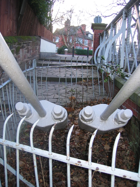
English: Suspension Bridge Cables, Chester One of the four sets of cable restraints for the suspension bridge over the River Dee at The Groves, Chester. There are four cables altogether, two each side of the bridge. The suspension bridge and the steps up from the riverside footpath lead into Victoria Crescent, Handbridge. |
| Date | |
| Source | From geograph.org.uk |
| Author | John S Turner |
| Attribution (required by the license) | John S Turner / Suspension Bridge Cables, Chester / |
| Object location | | View this and other nearby images on: OpenStreetMap |
|---|
_heading:157.00&language=en)
Licensing
[edit]

|
This image was taken from the Geograph project collection. See this photograph's page on the Geograph website for the photographer's contact details. The copyright on this image is owned by John S Turner and is licensed for reuse under the Creative Commons Attribution-ShareAlike 2.0 license.
|
This file is licensed under the Creative Commons Attribution-Share Alike 2.0 Generic license.
Attribution: John S Turner
- You are free:
- to share – to copy, distribute and transmit the work
- to remix – to adapt the work
- Under the following conditions:
- attribution – You must give appropriate credit, provide a link to the license, and indicate if changes were made. You may do so in any reasonable manner, but not in any way that suggests the licensor endorses you or your use.
- share alike – If you remix, transform, or build upon the material, you must distribute your contributions under the same or compatible license as the original.
File history
Click on a date/time to view the file as it appeared at that time.
| Date/Time | Thumbnail | Dimensions | User | Comment | |
|---|---|---|---|---|---|
| current | 20:06, 14 December 2010 | | 480 × 640 (201 KB) | GeographBot (talk | contribs) | == {{int:filedesc}} == {{Information |description={{en|1=Suspension Bridge Cables, Chester One of the four sets of cable restraints for the suspension bridge over the River Dee at The Groves, Chester. There are four cables altogether, two each side of the |
You cannot overwrite this file.
File usage on Commons
There are no pages that use this file.