File:Survey of Israel, רס אבו גלום (FL168339415 2694693).jpg
Jump to navigation
Jump to search

Size of this preview: 800 × 555 pixels. Other resolutions: 320 × 222 pixels | 640 × 444 pixels | 1,024 × 711 pixels | 1,280 × 889 pixels | 2,560 × 1,777 pixels | 16,910 × 11,739 pixels.
Original file (16,910 × 11,739 pixels, file size: 238.43 MB, MIME type: image/jpeg)
Captions
Captions
Add a one-line explanation of what this file represents
Summary
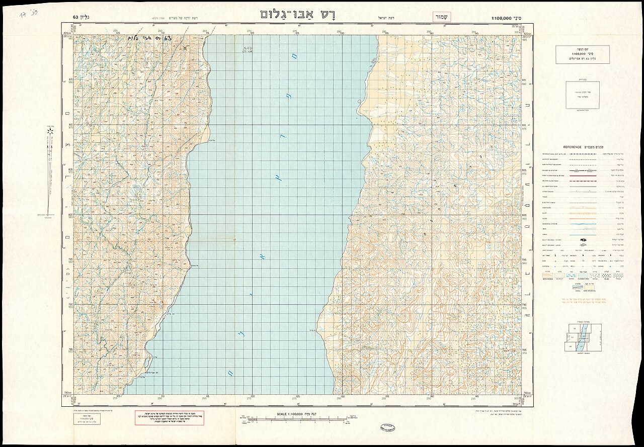
[edit]| Survey of Israel: רס אבו גלום
( |
||||||||||||||||||||||||
|---|---|---|---|---|---|---|---|---|---|---|---|---|---|---|---|---|---|---|---|---|---|---|---|---|
| Artist | ||||||||||||||||||||||||
| Title |
רס אבו גלום |
|||||||||||||||||||||||
| Publisher |
מחלקת המדידות |
|||||||||||||||||||||||
| Description |
רס אבו גלום. עובד ושורטט עי מחלקת המדידות.. . |
|||||||||||||||||||||||
| Language | Hebrew | |||||||||||||||||||||||
| Publication date | 1967 | |||||||||||||||||||||||
| Medium | 1 גליון : צבע ; | |||||||||||||||||||||||
| Dimensions | height: 50 cm (19.6 in); width: 70 cm (27.5 in) | |||||||||||||||||||||||
| Collection |
|
|||||||||||||||||||||||
| Current location |
|
|||||||||||||||||||||||
| Place of publication | Israel | |||||||||||||||||||||||
| search Merhav catalog | Israel | |||||||||||||||||||||||
| Notes |
עובד ושורטט 1960, הודפס 1967 עברית: סיני 1:100,000 ; 63 | |||||||||||||||||||||||
| scale | 1:100,000 cm | |||||||||||||||||||||||
| IE PID | IE168339413 | |||||||||||||||||||||||
| Rosetta filename | FL168339415 | |||||||||||||||||||||||
| NNL item ID (P3959) | 990026946930205171 | |||||||||||||||||||||||
| search Merhav catalog | Hebrew, Survey of Israel | |||||||||||||||||||||||
| search Merhav catalog | מחלקת המדידות | |||||||||||||||||||||||
| Source/Photographer |
|
|||||||||||||||||||||||
| Other versions | ||||||||||||||||||||||||
| Jpg / Tif version |
|
|||||||||||||||||||||||

.jpg)

.jpg&action=edit§ion=1)
Licensing
[edit].jpg&action=edit§ion=2)
This work created by the United Kingdom Government is in the public domain.
This is because it is one of the following:
HMSO has declared that the expiry of Crown Copyrights applies worldwide (ref: HMSO Email Reply)
|
 |
This work was created or ordered by the State of Israel, and is in the public domain because it satisfies one of the conditions stipulated in Israel's copyright statute from 2007 (translation) regarding the State's copyrights:
|

|
File history
Click on a date/time to view the file as it appeared at that time.
| Date/Time | Thumbnail | Dimensions | User | Comment | |
|---|---|---|---|---|---|
| current | 11:53, 22 August 2023 | | 16,910 × 11,739 (238.43 MB) | Geagea (talk | contribs) | pattypan 22.03 |
You cannot overwrite this file.
File usage on Commons
The following page uses this file:
.jpg&oldid=795087781)