File:Sunset Peak - WLE Spain 2015.jpg
Jump to navigation
Jump to search
Size of this preview: 800 × 389 pixels. Other resolutions: 320 × 156 pixels | 640 × 311 pixels | 1,024 × 498 pixels | 1,280 × 623 pixels | 2,560 × 1,246 pixels | 4,733 × 2,303 pixels.
Original file (4,733 × 2,303 pixels, file size: 962 KB, MIME type: image/jpeg)
Captions
Captions
Add a one-line explanation of what this file represents
Summary
[edit]
| Description |
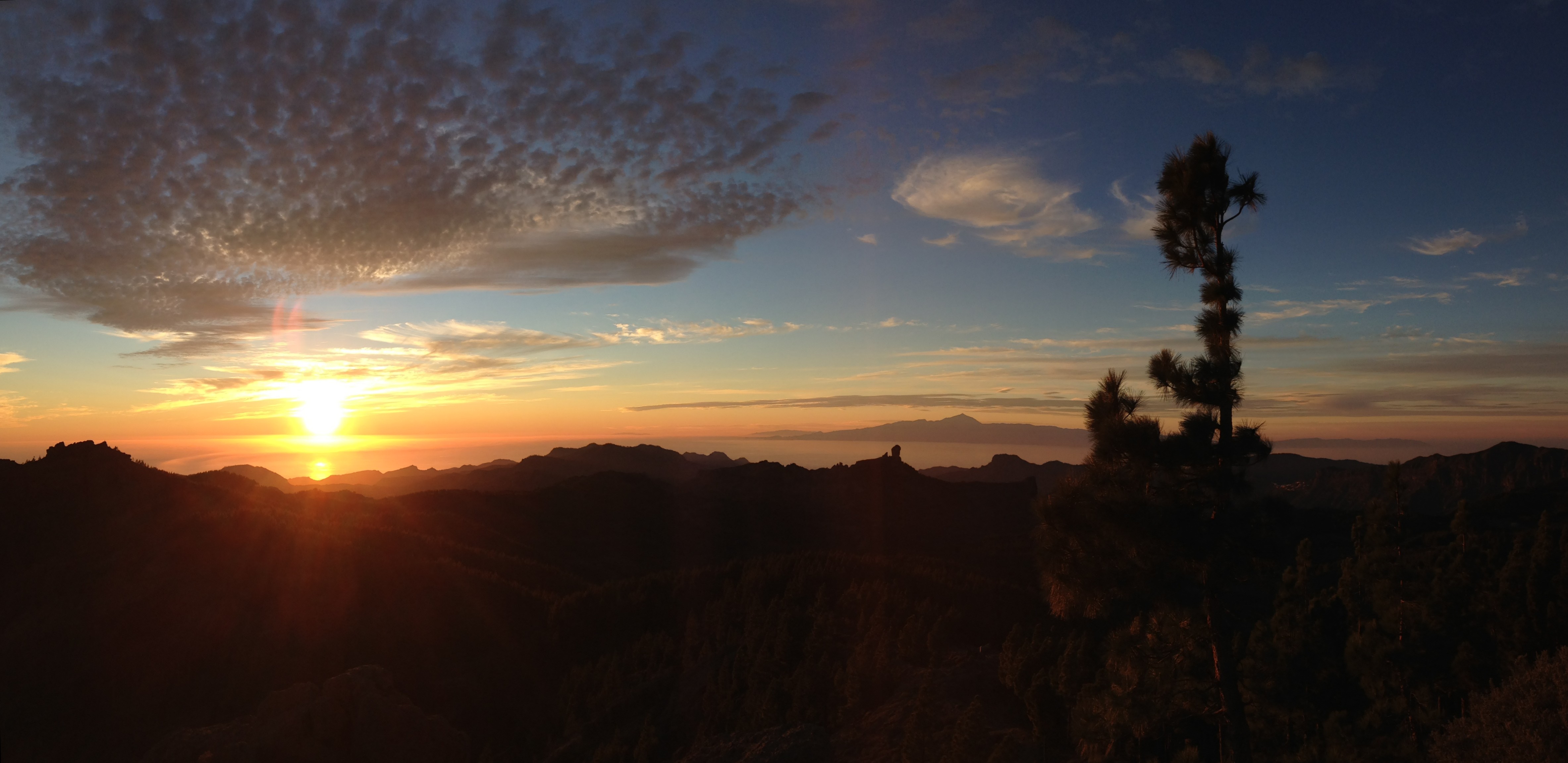
Four of the seven Canary Islands can ben seen in this shot! Exceptionally transparent view of Tenerife and its Peak of Teide; La Gomera and El Hierro islands. Also featuring the popular shape of Roque Nublo. Taken from Pico de las Nieves (1900 meters, Gran Canaria).
|
||
| Date | |||
| Source | Sunset Peak | ||
| Author | Victor R. Ruiz from Arinaga, Canary Islands, Spain |
| Camera location | | View this and other nearby images on: OpenStreetMap |
|---|
Licensing
[edit]
This file is licensed under the Creative Commons Attribution 2.0 Generic license.
- You are free:
- to share – to copy, distribute and transmit the work
- to remix – to adapt the work
- Under the following conditions:
- attribution – You must give appropriate credit, provide a link to the license, and indicate if changes were made. You may do so in any reasonable manner, but not in any way that suggests the licensor endorses you or your use.
| This image was originally posted to Flickr by rvr at https://www.flickr.com/photos/48600102544@N01/8297443705. It was reviewed on 20 May 2015 by FlickreviewR and was confirmed to be licensed under the terms of the cc-by-2.0. |
This image was uploaded as part of Wiki Loves Earth 2015.
|
 |
File history
Click on a date/time to view the file as it appeared at that time.
| Date/Time | Thumbnail | Dimensions | User | Comment | |
|---|---|---|---|---|---|
| current | 22:51, 20 May 2015 | | 4,733 × 2,303 (962 KB) | WikiLovesESBot (talk | contribs) | == {{int:filedesc}} == {{Information |Description=Four of the seven Canary Islands can ben seen in this shot! Exceptionally transparent view of Tenerife and its Peak of Teide; La Gomera and El Hierro islands. Also featuring the popular shape of Roque N... |
You cannot overwrite this file.
File usage on Commons
The following page uses this file: