File:Suleyman-Stalsky district locator map.png
Jump to navigation
Jump to search

Size of this preview: 419 × 599 pixels. Other resolutions: 168 × 240 pixels | 336 × 480 pixels | 537 × 768 pixels | 716 × 1,024 pixels | 2,000 × 2,860 pixels.
Original file (2,000 × 2,860 pixels, file size: 835 KB, MIME type: image/png)
Captions
Captions
Add a one-line explanation of what this file represents
Summary
[edit]
| Description |
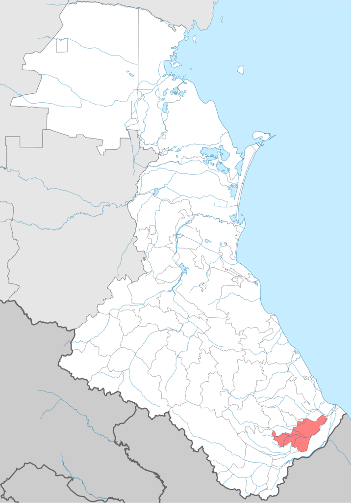
English: Suleyman-Stalsky district. Locator Map of Dagestan (Russia)
Русский: Сулейман-Стальский район. Положение на карте республики Дагестан Российской Федерации |
| Date | |
| Source | File:Dagestan-district.png |
| Author | own-work and source (File:Dagestan-district.png) author User:Insider & User:Koryakov Yuri (all ru-wiki-users) |
Licensing
[edit]
I, the copyright holder of this work, hereby publish it under the following licenses:

|
Permission is granted to copy, distribute and/or modify this document under the terms of the GNU Free Documentation License, Version 1.2 or any later version published by the Free Software Foundation; with no Invariant Sections, no Front-Cover Texts, and no Back-Cover Texts. A copy of the license is included in the section entitled GNU Free Documentation License. |
This file is licensed under the Creative Commons Attribution-Share Alike 3.0 Unported, 2.5 Generic, 2.0 Generic and 1.0 Generic license.
- You are free:
- to share – to copy, distribute and transmit the work
- to remix – to adapt the work
- Under the following conditions:
- attribution – You must give appropriate credit, provide a link to the license, and indicate if changes were made. You may do so in any reasonable manner, but not in any way that suggests the licensor endorses you or your use.
- share alike – If you remix, transform, or build upon the material, you must distribute your contributions under the same or compatible license as the original.
You may select the license of your choice.
File history
Click on a date/time to view the file as it appeared at that time.
| Date/Time | Thumbnail | Dimensions | User | Comment | |
|---|---|---|---|---|---|
| current | 10:03, 14 July 2022 | | 2,000 × 2,860 (835 KB) | Takhirgeran Umar (talk | contribs) | . |
| 11:15, 19 September 2011 |  | 1,439 × 2,117 (138 KB) | Takhirgeran Umar (talk | contribs) | изменение границы Казбековского района | |
| 03:39, 30 July 2009 |  | 1,439 × 2,117 (113 KB) | User№101 (talk | contribs) | {{Information |Description={{en|1=Suleyman-Stalsky district. Locator Map of Dagestan (Russia)}} {{ru|1=Сулейман-Стальский район. Положение на карте республики Дагестан Российской Федер |
You cannot overwrite this file.
File usage on Commons
The following page uses this file:
File usage on other wikis
The following other wikis use this file:
- Usage on av.wikipedia.org
- Usage on ceb.wikipedia.org
- Usage on ce.wikipedia.org
- Usage on et.wikipedia.org
- Usage on fi.wikipedia.org
- Usage on hu.wikipedia.org
- Usage on hy.wikipedia.org
- Usage on it.wikipedia.org
- Usage on lez.wikipedia.org
- Кьасумхуьр
- СтӀал Сулейманан район
- ЦӀийи Макьар
- Ичин
- Цмуррин хуьруьнсовет
- Гачалхуьр
- Цмур
- Шаблон:СтӀал Сулейман райондин яшамиш жезвай чкаяр
- Алкьвадар
- Агъа СтӀал
- Алидхуьр
- Асалдхуьр
- Агъа Ярагъ (СтӀал Сулейман район)
- Агъа СтӀалрин Къазмаяр
- Агъа Къартас
- Вини Къартас
- Герейханован совхоз
- Герейханован совхоздин 2-лагьай отделение
- Бутахуьр (СтӀал Сулейман район)
- Векьелар
- ДаркӀуш Къазмаяр
- Зизик (СтӀал Сулейман район)
- Зугьрабхуьр
- Испик (СтӀал Сулейман район)
- КӀварчагъ
- КӀахцугъ
- Курхуьр
- ЦӀийи Испик
- НуьцӀуьгъ
- Кьулан СтӀал
- Пиперхуьр
- Птидхуьр
- Саидхуьр
- Сайтархуьр
- Салиян
- Сардархуьр
- Татархан
- Уллугъетягъ
- Хъпуьхъ
- Хтун
- Вини СтӀал
- ЦӀийи Чуьхверхуьр
View more global usage of this file.