File:Sulejówek location map.svg
Jump to navigation
Jump to search

Size of this PNG preview of this SVG file: 689 × 600 pixels. Other resolutions: 276 × 240 pixels | 551 × 480 pixels | 882 × 768 pixels | 1,176 × 1,024 pixels | 2,353 × 2,048 pixels | 1,074 × 935 pixels.
Original file (SVG file, nominally 1,074 × 935 pixels, file size: 1.11 MB)
Captions
Captions
Add a one-line explanation of what this file represents
| Description |
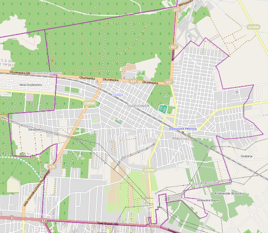
Polski: Mapa miasta Sulejówek, Polska
English: Map of Sulejówek, Poland |
|||||||||
| Date | ||||||||||
| Source | You may find a page on the OpenStreetMap wiki page for Sulejówek | |||||||||
| Creator |
OpenStreetMap contributors OpenStreetMap contributors |
|||||||||
| Permission (Reusing this file) |
OpenStreetMap data is available under the Open Database License (details). Map tiles are licensed under the Creative Commons Attribution-ShareAlike 2.0 license (CC-BY-SA 2.0).
This file is licensed under the Creative Commons Attribution-Share Alike 2.0 Generic license.
|
|||||||||
| Geotemporal data | ||||||||||
| Bounding box |
|
|||||||||
| Georeferencing | If inappropriate please set warp_status = skip to hide. | |||||||||
File history
Click on a date/time to view the file as it appeared at that time.
| Date/Time | Thumbnail | Dimensions | User | Comment | |
|---|---|---|---|---|---|
| current | 12:35, 12 May 2014 | | 1,074 × 935 (1.11 MB) | VanWiel (talk | contribs) | {{OpenStreetMap | name = Sulejówek | location = Sulejówek | description = {{pl|Mapa miasta Sulejówek, Polska}} {{en|Map of Sulejówek, Poland}} | top = 52.2689 | left = 21.2350 | right... |
You cannot overwrite this file.
File usage on Commons
There are no pages that use this file.
File usage on other wikis
The following other wikis use this file:
- Usage on pl.wikipedia.org
- Sulejówek Miłosna
- Sulejówek (przystanek kolejowy)
- Parafia Najświętszej Maryi Panny Matki Kościoła w Sulejówku
- Parafia Przemienienia Pańskiego w Sulejówku
- Muzeum Józefa Piłsudskiego w Sulejówku
- Wojskowy Instytut Techniki Pancernej i Samochodowej
- Ławeczka Józefa Piłsudskiego w Sulejówku
- Kościół Przemienienia Pańskiego w Sulejówku
- Moduł:Mapa/dane/Sulejówek
- Cechówka (Sulejówek)
- Żurawka (Sulejówek)
- Szkopówka
- Ratajewo
- Parafia św. Józefa w Sulejówku
- Długa Szlachecka (Sulejówek)
- Miłosna (Sulejówek)
- Usage on pl.wikibooks.org
- Usage on pt.wikipedia.org