File:Sugar Run bottoms on 325.jpg
Jump to navigation
Jump to search

Size of this preview: 800 × 532 pixels. Other resolutions: 320 × 213 pixels | 640 × 426 pixels | 1,024 × 681 pixels | 1,280 × 851 pixels | 2,560 × 1,702 pixels | 6,016 × 4,000 pixels.
Original file (6,016 × 4,000 pixels, file size: 6.41 MB, MIME type: image/jpeg)
Captions
Captions
Add a one-line explanation of what this file represents
| Camera location | | View this and other nearby images on: OpenStreetMap |
|---|
| Description |
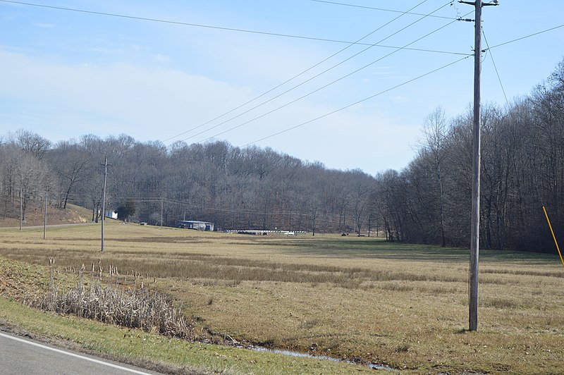
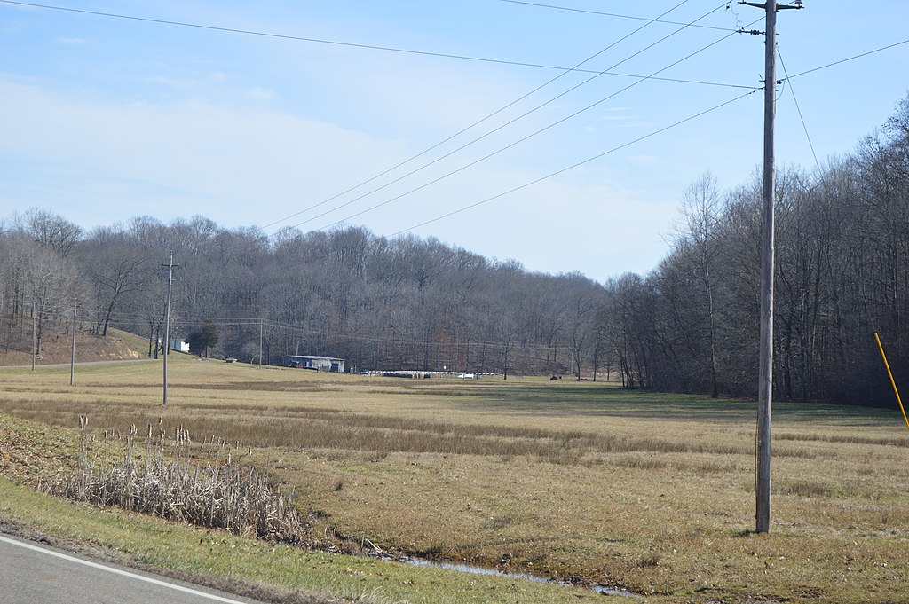
English: Stream bottoms along Sugar Run on the southern side of State Route 325 northeast of Vinton in far southern Salem Township, Meigs County, Ohio, United States. |
||
| Date | Taken on 2 February 2016 | ||
| Source | Own work | ||
| Author | Nyttend | ||
| Permission (Reusing this file) |
|
File history
Click on a date/time to view the file as it appeared at that time.
| Date/Time | Thumbnail | Dimensions | User | Comment | |
|---|---|---|---|---|---|
| current | 15:55, 6 February 2016 | | 6,016 × 4,000 (6.41 MB) | Nyttend (talk | contribs) | {{Location|39|0|54|N|82|18|30|W}} {{Information |Description={{en|Stream bottoms along Sugar Run on the southern side of {{w|Ohio State Route 325|State Route 325}} northeast of {{w|Vinton, Ohio|Vinton}} in far southern {{w|Salem Township, Meigs County,... |
You cannot overwrite this file.
File usage on Commons
The following page uses this file:
File usage on other wikis
The following other wikis use this file:
- Usage on en.wikipedia.org
- Usage on es.wikipedia.org
- Usage on eu.wikipedia.org
- Usage on fa.wikipedia.org
- Usage on pt.wikipedia.org
- Usage on vi.wikipedia.org
- Usage on www.wikidata.org