File:Suezkanal Mannheim 2023-03-04 01.jpg
Jump to navigation
Jump to search

Size of this preview: 800 × 533 pixels. Other resolutions: 320 × 213 pixels | 640 × 427 pixels | 1,024 × 683 pixels | 1,280 × 853 pixels | 2,560 × 1,707 pixels | 4,500 × 3,000 pixels.
Original file (4,500 × 3,000 pixels, file size: 8.71 MB, MIME type: image/jpeg)
Captions
Captions
Add a one-line explanation of what this file represents
Summary
[edit]
| Description |
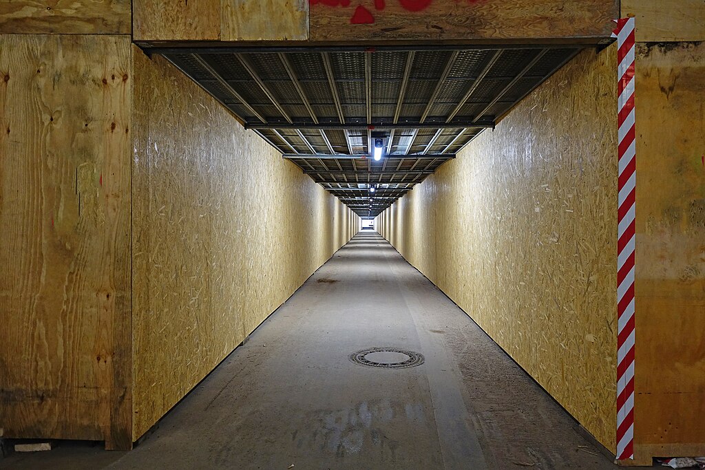
Deutsch: Mannheim, Tunnelstraße ("Suezkanal"). Temporäre Freigabe als Fußgänger- und Radfahrweg von März bis etwa Mitte Luli 2023 während einer Pause der Erneuerungsarbeiten (2021-2024.) Hier die Einfahrt vom Stadtteil Lindenhof Richtung Innenstadt.
English: Mannheim, Germany, Tunnelstr. Temporary opening as a pedestrian and cycle path from March toaround mid-July 2023 during a break in the renovation work. |
| Date | |
| Source | Own work |
| Author | Hubert Berberich (HubiB) |
| Permission (Reusing this file) |
Hubert Berberich Wikimedia Commons (CC-BY-SA-4.0) Deutsch: Das Bild ist bewusst so fotografiert. Falls Du es hier in Commons ändern willst, ändere bitte nicht dieses Bild, sondern lege eine Kopie an, die sich auf dieses Bild bezieht!
English: This picture is deliberately made the way it is. If you want to change it here in Commons, please do not change this picture, but make a copy referring to this picture! |
| Camera location | | View this and other nearby images on: OpenStreetMap |
|---|
Licensing
[edit]
This file is licensed under the Creative Commons Attribution-Share Alike 4.0 International license.
- You are free:
- to share – to copy, distribute and transmit the work
- to remix – to adapt the work
- Under the following conditions:
- attribution – You must give appropriate credit, provide a link to the license, and indicate if changes were made. You may do so in any reasonable manner, but not in any way that suggests the licensor endorses you or your use.
- share alike – If you remix, transform, or build upon the material, you must distribute your contributions under the same or compatible license as the original.
File history
Click on a date/time to view the file as it appeared at that time.
| Date/Time | Thumbnail | Dimensions | User | Comment | |
|---|---|---|---|---|---|
| current | 20:37, 5 March 2023 | | 4,500 × 3,000 (8.71 MB) | HubiB (talk | contribs) | == {{int:filedesc}} == {{Information |Description = {{de|Mannheim, Tunnelstraße ("Suezkanal"). Temporäre Freigabe als Fußgänger- und Radfahrweg von März bis etwa Mitte Luli 2023 während einer Pause der Erneuerungsarbeiten (2021-2024.) Hier die Einfahrt vom Stadtteil Lindenhof Richtung Innenstadt.}} {{en|Mannheim, Germany, Tunnelstr. Temporary opening as a pedestrian and cycle path from March toaround mid-July 2023 during a break in the renovation work.}} |Source = {{Own}} |Date = 2023-03-04... |
You cannot overwrite this file.
File usage on Commons
The following 2 pages use this file: