File:Sułkowice (gmina) location map.png
Original file (1,581 × 2,510 pixels, file size: 636 KB, MIME type: image/png)
Captions
Captions
Summary
[edit]_location_map.png&action=edit§ion=1)
| Description |
English: Location map |
| Date | |
| Source | Own work |
| Author | Smat |
| Description |
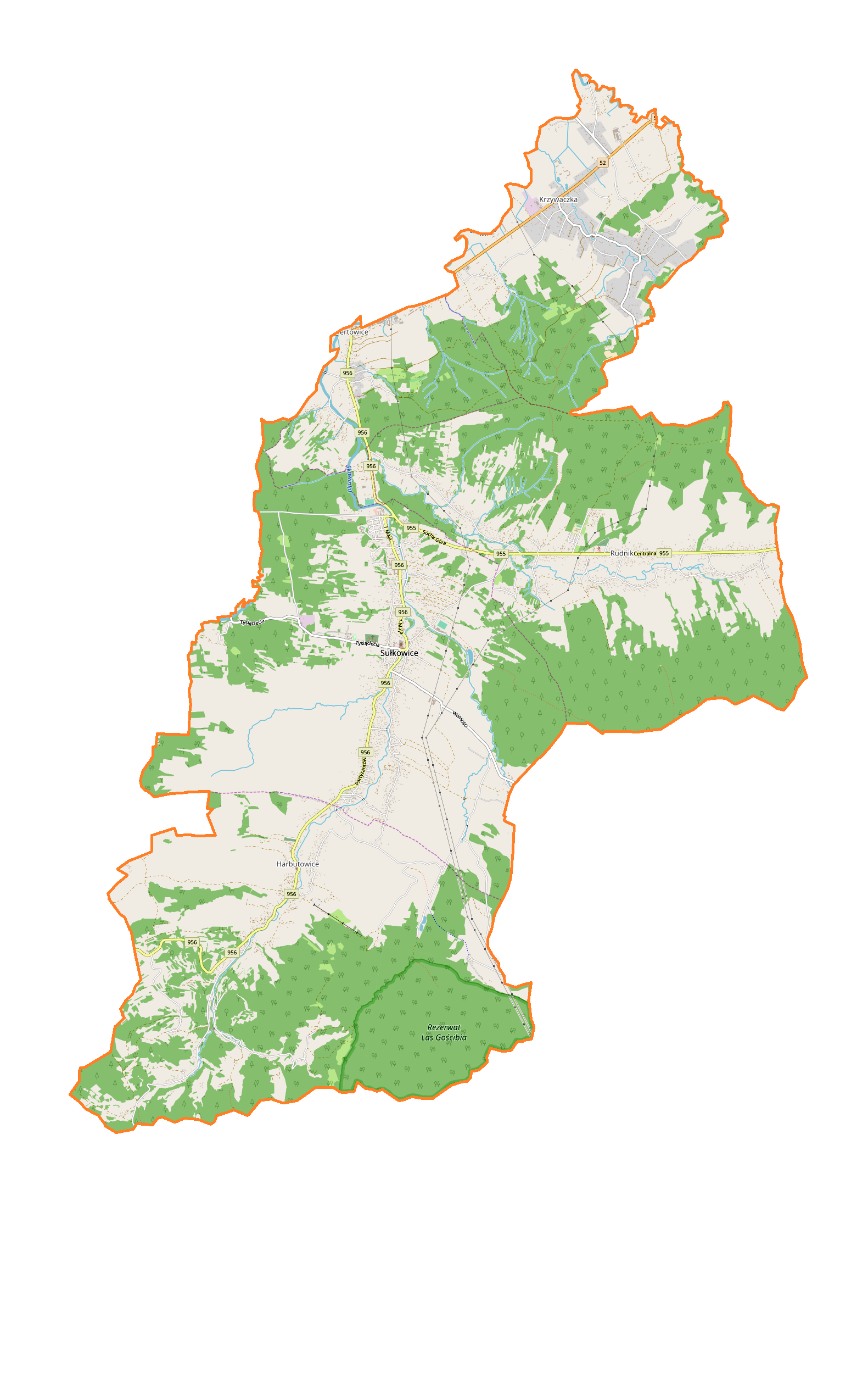
Polski: Mapa gminy Sułkowice, Polska
English: Map of Sułkowice (gmina), Poland |
|||||||||
| Date | ||||||||||
| Source | You may find a page on the OpenStreetMap wiki page for Sułkowice (gmina) | |||||||||
| Creator |
OpenStreetMap contributors OpenStreetMap contributors |
|||||||||
| Permission (Reusing this file) |
OpenStreetMap data is available under the Open Database License (details). Map tiles are licensed under the Creative Commons Attribution-ShareAlike 2.0 license (CC-BY-SA 2.0).
This file is licensed under the Creative Commons Attribution-Share Alike 2.0 Generic license.
|
|||||||||
| Geotemporal data | ||||||||||
| Bounding box |
|
|||||||||
| Georeferencing | If inappropriate please set warp_status = skip to hide. | |||||||||
Licensing
[edit]_location_map.png&action=edit§ion=2)
| This work contains information from OpenStreetMap, which is made available under the Open Database License (ODbL).
The ODbL does not require any particular license for maps produced from ODbL data. Prior to 1 August 2020, map tiles produced by the OpenStreetMap Foundation were licensed under the CC-BY-SA-2.0 license. Maps produced by other people may be subject to other licences. |
File history
Click on a date/time to view the file as it appeared at that time.
| Date/Time | Thumbnail | Dimensions | User | Comment | |
|---|---|---|---|---|---|
| current | 10:33, 27 March 2018 | | 1,581 × 2,510 (636 KB) | Smat (talk | contribs) | User created page with UploadWizard |
You cannot overwrite this file.
File usage on Commons
There are no pages that use this file.
File usage on other wikis
The following other wikis use this file:
- Usage on pl.wikipedia.org
- Cisy Raciborskiego
- Harbutowice (województwo małopolskie)
- Sułkowice
- Biertowice
- Krzywaczka
- Rudnik (gmina Sułkowice)
- Rezerwat przyrody Las Gościbia
- Parafia Najświętszego Serca Pana Jezusa w Sułkowicach
- Parafia Matki Bożej Różańcowej w Biertowicach
- Kościół Najświętszego Serca Pana Jezusa w Sułkowicach
- Pisana
- Stacja Narciarska Szklana Góra Ski w Harbutowicach
- Piegżówka
- Kościół św. Zofii w Sułkowicach
- Moduł:Mapa/dane/Sułkowice (gmina)
- Moduł:Mapa/dane/Sułkowice
- Parafia Najświętszego Imienia Maryi w Harbutowicach
- Parafia Przenajświętszej Trójcy w Krzywaczce
- Parafia św. Maksymiliana Kolbego w Rudniku
- Kaniowa Góra
- Dom Pomocy Społecznej im. Tadeusza Piekarza w Harbutowicach
- Usage on pl.wikibooks.org
_location_map.png&oldid=706040781)