File:Stupsk (gmina) location map.png
Jump to navigation
Jump to search
Size of this preview: 661 × 599 pixels. Other resolutions: 265 × 240 pixels | 529 × 480 pixels | 858 × 778 pixels.
Original file (858 × 778 pixels, file size: 139 KB, MIME type: image/png)
Captions
Captions
Add a one-line explanation of what this file represents
| Description |
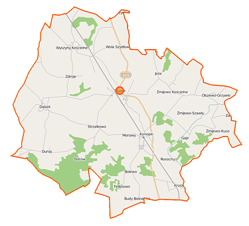
Polski: Mapa gminy Stupsk, Polska
English: Map of Gmina Stupsk, Poland |
|||||||||
| Date | ||||||||||
| Source | You may find a page on the OpenStreetMap wiki page for Stupsk (gmina) | |||||||||
| Creator |
OpenStreetMap contributors OpenStreetMap contributors |
|||||||||
| Permission (Reusing this file) |
OpenStreetMap data is available under the Open Database License (details). Map tiles are licensed under the Creative Commons Attribution-ShareAlike 2.0 license (CC-BY-SA 2.0).
This file is licensed under the Creative Commons Attribution-Share Alike 2.0 Generic license.
|
|||||||||
| Geotemporal data | ||||||||||
| Bounding box |
|
|||||||||
| Georeferencing | If inappropriate please set warp_status = skip to hide. | |||||||||
File history
Click on a date/time to view the file as it appeared at that time.
| Date/Time | Thumbnail | Dimensions | User | Comment | |
|---|---|---|---|---|---|
| current | 11:04, 12 September 2014 | | 858 × 778 (139 KB) | VanWiel (talk | contribs) | |
| 06:33, 12 August 2014 |  | 858 × 778 (133 KB) | VanWiel (talk | contribs) | {{OpenStreetMap | name = Stupsk (gmina) | location = Stupsk (gmina) | description = {{pl|Mapa gminy Stupsk, Polska}} {{en|Map of Gmina Stupsk, Poland}} | top = 53.0738 | left = 20.3247 | right... |
You cannot overwrite this file.
File usage on Commons
There are no pages that use this file.
File usage on other wikis
The following other wikis use this file:
- Usage on fr.wikipedia.org
- Usage on nl.wikipedia.org
- Usage on pl.wikipedia.org
- Stupsk (gmina)
- Bolewo
- Budy Bolewskie
- Dunaj (powiat mławski)
- Olszewo-Bołąki
- Olszewo-Borzymy
- Olszewo-Grzymki
- Pieńpole
- Sułkowo-Kolonia
- Stupsk
- Wola-Kolonia
- Wola Szydłowska
- Wyszyny Kościelne
- Żmijewo-Gaje
- Żmijewo Kościelne
- Żmijewo-Kuce
- Żmijewo-Ponki
- Żmijewo-Trojany
- Jeże (województwo mazowieckie)
- Konopki (województwo mazowieckie)
- Krośnice (województwo mazowieckie)
- Morawy (województwo mazowieckie)
- Rosochy (województwo mazowieckie)
- Strzałkowo (województwo mazowieckie)
- Zdroje (województwo mazowieckie)
- Dąbek (powiat mławski)
- Olszewo-Reszki
- Olszewo-Tosie
- Olszewo-Marcisze
- Olszewo-Chlebowo
- Żmijewo-Podusie
- Żmijewo-Szawły
- Sułkowo-Baraki
- Stefankowo (Pieńpole)
- Feliksowo (Bolewo)
- Krośnice Mazowieckie
- Konopki (stacja kolejowa)
- Stupsk Mazowiecki
- Wyszyny (przystanek kolejowy)
- Parafia św. Wojciecha w Stupsku
- Parafia Matki Boskiej Różańcowej w Wyszynach
- Moduł:Mapa/dane/Stupsk (gmina)
- Pieczyska (Stupsk)
- Parafia Matki Bożej Szkaplerznej w Żmijewie Kościelnym
- Usage on pl.wikibooks.org
_location_map.png&oldid=492568814)