File:Strzebin-mapa gminy 1840 r..JPG
Jump to navigation
Jump to search
Size of this preview: 800 × 567 pixels. Other resolutions: 320 × 227 pixels | 640 × 453 pixels | 1,024 × 725 pixels | 1,183 × 838 pixels.
Original file (1,183 × 838 pixels, file size: 329 KB, MIME type: image/jpeg)
Captions
Captions
Add a one-line explanation of what this file represents
Summary
[edit]
| Description |
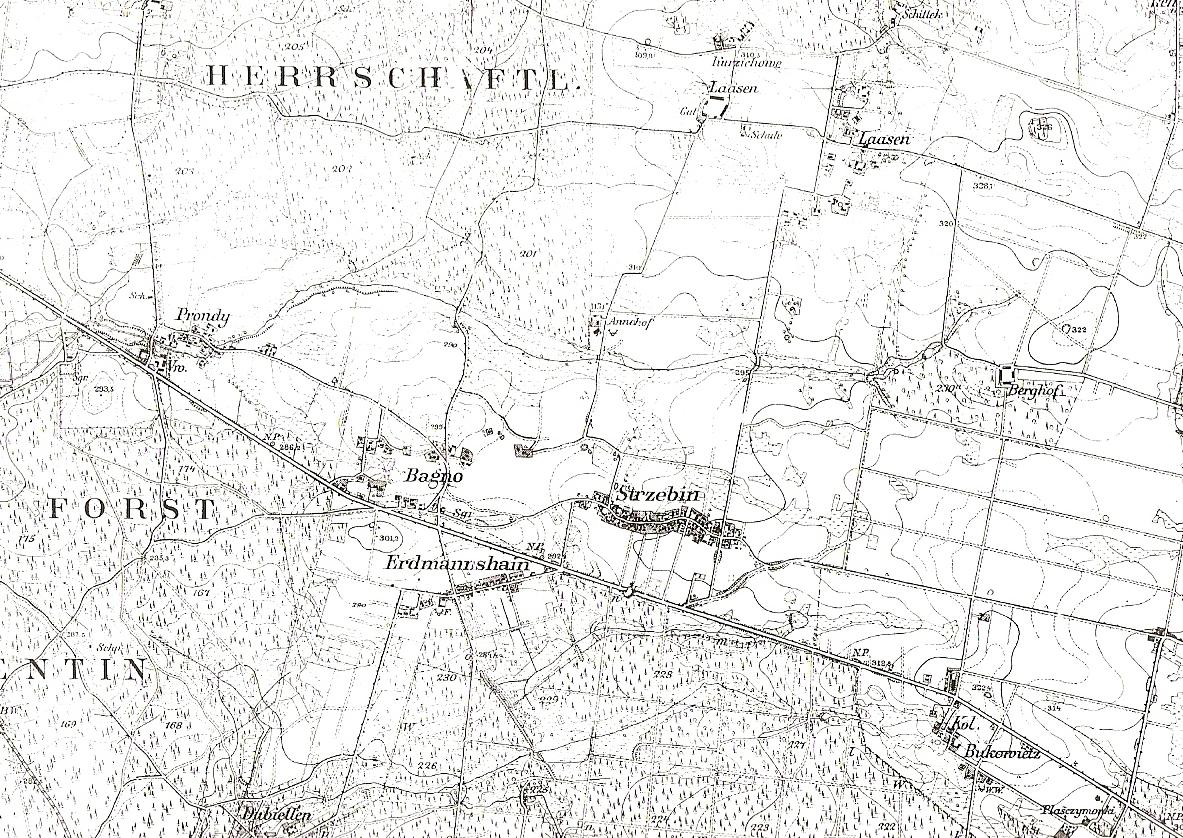
Polski: Mapa konturowa Gminy Strzebiń ok.1840 r. |
| Date | 9 November 2009 (upload date) |
| Source | praca autorstwa Józefa Kochanka Monografia Sołectwa Strzebiń |
| Author | Józef Kochanek, Mariusz Rupik |
Licensing
[edit]
I, the copyright holder of this work, hereby publish it under the following license:
This file is licensed under the Creative Commons Attribution-Share Alike 3.0 Unported license.
- You are free:
- to share – to copy, distribute and transmit the work
- to remix – to adapt the work
- Under the following conditions:
- attribution – You must give appropriate credit, provide a link to the license, and indicate if changes were made. You may do so in any reasonable manner, but not in any way that suggests the licensor endorses you or your use.
- share alike – If you remix, transform, or build upon the material, you must distribute your contributions under the same or compatible license as the original.
File history
Click on a date/time to view the file as it appeared at that time.
| Date/Time | Thumbnail | Dimensions | User | Comment | |
|---|---|---|---|---|---|
| current | 19:50, 9 November 2009 | | 1,183 × 838 (329 KB) | Mariusz Rupik (talk | contribs) | {{Information |Description={{pl|1=Mapa konturowa Gminy Strzebiń ok.1840 r.}} |Source=praca autorstwa Józefa Kochanka ''Monografia Sołectwa Strzebiń'' |Author=Józef Kochanek |Date=09.11.2009 |Permission= |other_versions= }} |
You cannot overwrite this file.
File usage on Commons
There are no pages that use this file.
File usage on other wikis
The following other wikis use this file:
- Usage on pl.wikipedia.org