File:Stored Buoys - geograph.org.uk - 1117489.jpg
Jump to navigation
Jump to search
No higher resolution available.
Stored_Buoys_-_geograph.org.uk_-_1117489.jpg (640 × 534 pixels, file size: 150 KB, MIME type: image/jpeg)
Captions
Captions
Add a one-line explanation of what this file represents
Summary
[edit]
| Description |
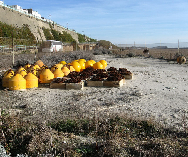
English: Stored Buoys In a small enclosure between Madeira Drive to the left and Volks Railway beyond the fence to the right. This area was once a small children's playground built on a concrete infill to close the gap between the road and the railway. When the latter was first extended in 1901 the section curved northwards from Banjo Groyne on a metal viaduct, however, the build up of shingle eventually lowered the height between beach and railway until it finally closed in 1940 and disappeared from view. |
| Date | |
| Source | From geograph.org.uk |
| Author | Simon Carey |
| Attribution (required by the license) | Simon Carey / Stored Buoys / |
| Camera location | | View this and other nearby images on: OpenStreetMap |
|---|
_heading:90.00&language=en)
| Object location | | View this and other nearby images on: OpenStreetMap |
|---|
_heading:90.00&language=en)
Licensing
[edit]

|
This image was taken from the Geograph project collection. See this photograph's page on the Geograph website for the photographer's contact details. The copyright on this image is owned by Simon Carey and is licensed for reuse under the Creative Commons Attribution-ShareAlike 2.0 license.
|
This file is licensed under the Creative Commons Attribution-Share Alike 2.0 Generic license.
Attribution: Simon Carey
- You are free:
- to share – to copy, distribute and transmit the work
- to remix – to adapt the work
- Under the following conditions:
- attribution – You must give appropriate credit, provide a link to the license, and indicate if changes were made. You may do so in any reasonable manner, but not in any way that suggests the licensor endorses you or your use.
- share alike – If you remix, transform, or build upon the material, you must distribute your contributions under the same or compatible license as the original.
File history
Click on a date/time to view the file as it appeared at that time.
| Date/Time | Thumbnail | Dimensions | User | Comment | |
|---|---|---|---|---|---|
| current | 22:22, 24 February 2011 | | 640 × 534 (150 KB) | GeographBot (talk | contribs) | == {{int:filedesc}} == {{Information |description={{en|1=Stored Buoys In a small enclosure between Madeira Drive to the left and Volks Railway beyond the fence to the right. This area was once a small children's playground built on a concrete infill to cl |
You cannot overwrite this file.
File usage on Commons
There are no pages that use this file.