File:Stawiguda (gmina) location map.png
Original file (1,734 × 2,293 pixels, file size: 930 KB, MIME type: image/png)
Captions
Captions
Summary
[edit]_location_map.png&action=edit§ion=1)
| Description |
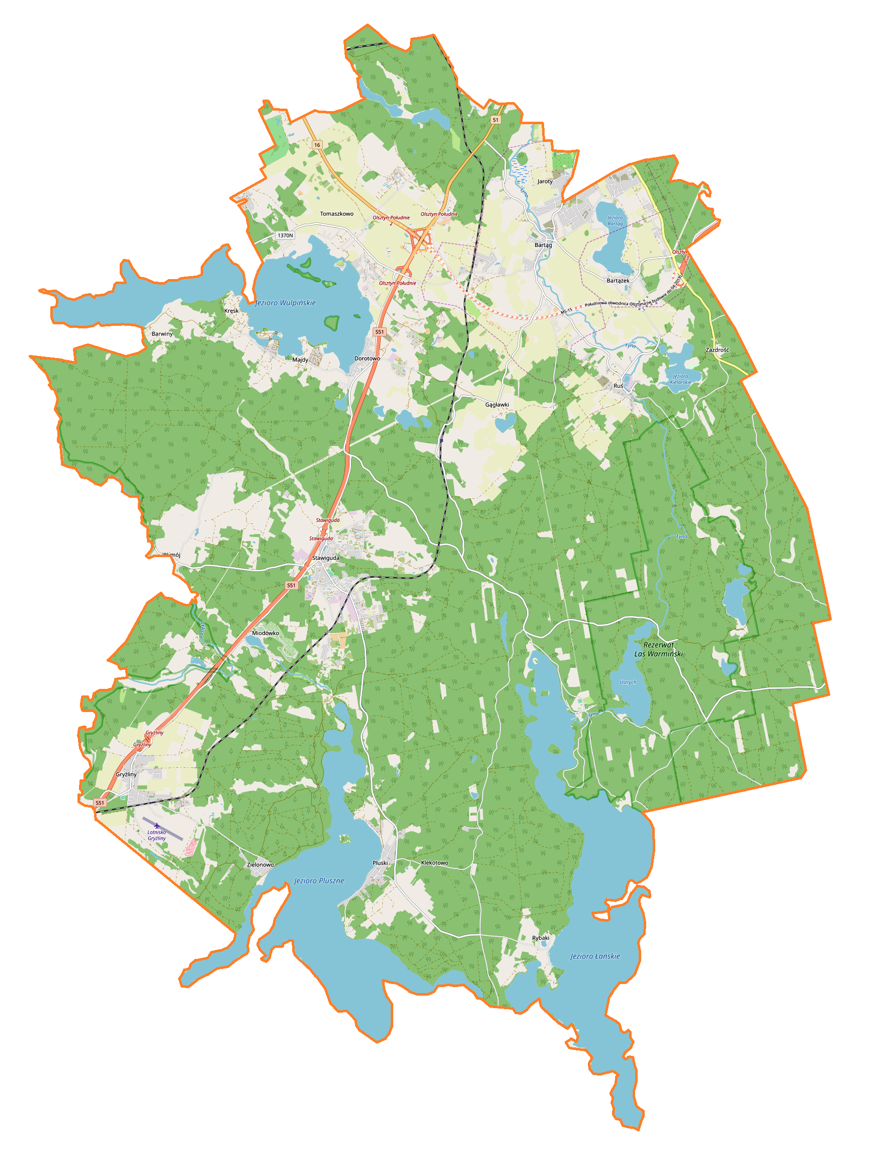
English: Location map |
| Date | |
| Source | Own work |
| Author | Smat |
| Description |
Polski: Mapa gminy Stawiguda, Polska
English: Map of Stawiguda (gmina), Poland |
|||||||||
| Date | ||||||||||
| Source | You may find a page on the OpenStreetMap wiki page for Stawiguda (gmina) | |||||||||
| Creator |
OpenStreetMap contributors OpenStreetMap contributors |
|||||||||
| Permission (Reusing this file) |
OpenStreetMap data is available under the Open Database License (details). Map tiles are licensed under the Creative Commons Attribution-ShareAlike 2.0 license (CC-BY-SA 2.0).
This file is licensed under the Creative Commons Attribution-Share Alike 2.0 Generic license.
|
|||||||||
| Geotemporal data | ||||||||||
| Bounding box |
|
|||||||||
| Georeferencing | If inappropriate please set warp_status = skip to hide. | |||||||||
Licensing
[edit]_location_map.png&action=edit§ion=2)
| This work contains information from OpenStreetMap, which is made available under the Open Database License (ODbL).
The ODbL does not require any particular license for maps produced from ODbL data. Prior to 1 August 2020, map tiles produced by the OpenStreetMap Foundation were licensed under the CC-BY-SA-2.0 license. Maps produced by other people may be subject to other licences. |
File history
Click on a date/time to view the file as it appeared at that time.
| Date/Time | Thumbnail | Dimensions | User | Comment | |
|---|---|---|---|---|---|
| current | 09:41, 11 May 2019 | | 1,734 × 2,293 (930 KB) | Smat (talk | contribs) | User created page with UploadWizard |
You cannot overwrite this file.
File usage on Commons
There are no pages that use this file.
File usage on other wikis
The following other wikis use this file:
- Usage on de.wikipedia.org
- Usage on pl.wikipedia.org
- Stawiguda
- Bartąg
- Bartążek
- Dorotowo (województwo warmińsko-mazurskie)
- Gągławki
- Kręsk
- Majdy
- Miodówko
- Pluski
- Tomaszkowo
- Wymój
- Zezuj
- Gryźliny (powiat olsztyński)
- Ruś (powiat olsztyński)
- Jezioro Pluszne Wielkie
- Jezioro Jełguńskie
- Jełguń
- Łańsk
- Zarośle (województwo warmińsko-mazurskie)
- Zielonowo (województwo warmińsko-mazurskie)
- Muchorowo
- Jaroty (wieś)
- Binduga (województwo warmińsko-mazurskie)
- Owczarnia (powiat olsztyński)
- Grada
- Stary Dwór (Tomaszkowo)
- Rybaki (powiat olsztyński)
- Zofijówka (Tomaszkowo)
- Jezioro Wulpińskie
- Jezioro Kielarskie
- Zazdrość (gmina Stawiguda)
- Ćwikielnia
- Jezioro Łańskie
- Ustrych (jezioro)
- Bartąg (jezioro)
- Bartąg (przystanek kolejowy)
- Gągławki (przystanek kolejowy)
- Stawiguda (przystanek kolejowy)
- Gryźliny (przystanek kolejowy)
- Parafia św. Jakuba w Stawigudzie
- Lądowisko Gryźliny
- Stary Ramuk
- Sójka (powiat olsztyński)
- Klekotowo (województwo warmińsko-mazurskie)
- Kieruj
- Łański Piec
- Ustrych (osada leśna)
- Stawiguda (osada leśna)
- Biędara
View more global usage of this file.
_location_map.png)
_location_map.png&oldid=704004342)