File:Stavby kyrka - KMB - 16000200132177.jpg
Jump to navigation
Jump to search
No higher resolution available.
Stavby_kyrka_-_KMB_-_16000200132177.jpg (568 × 600 pixels, file size: 83 KB, MIME type: image/jpeg)
Captions
Captions
Add a one-line explanation of what this file represents
| Stavby kyrka
( |
|||||||||||||||||||||||||||
|---|---|---|---|---|---|---|---|---|---|---|---|---|---|---|---|---|---|---|---|---|---|---|---|---|---|---|---|
| Photographer |
Per Olof Westlund |
||||||||||||||||||||||||||
| Title |
Stavby kyrka |
||||||||||||||||||||||||||
| Original caption |
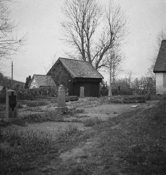
Notera Av dokumentationsskäl har originalbeskrivningen från Riksantikvarieämbetet behållits. Tillrättalägganden och alternativa beskrivningar bör införas separat från nedanstående information. Bod och transformatorkiosk, mot norr.Felaktigheter kan även anmälas till denna sida. Kategori: (01) Exteriörer, detaljer |
||||||||||||||||||||||||||
| Description |
Bod och transformatorkiosk, mot norr.
|
||||||||||||||||||||||||||
| Depicted place | Sweden, Uppsala Municipality, Stavby socken | ||||||||||||||||||||||||||
| Date | 1936 | ||||||||||||||||||||||||||
| Collection |
|
||||||||||||||||||||||||||
| Accession number | |||||||||||||||||||||||||||
| Source |
Per Olof Westlund / Kulturmiljöbild, Riksantikvarieämbetet
|
||||||||||||||||||||||||||
| Permission (Reusing this file) |
|
||||||||||||||||||||||||||


| Object location | | View this and other nearby images on: OpenStreetMap |
|---|
File history
Click on a date/time to view the file as it appeared at that time.
| Date/Time | Thumbnail | Dimensions | User | Comment | |
|---|---|---|---|---|---|
| current | 04:59, 1 October 2017 | | 568 × 600 (83 KB) | AliciaFagervingWMSE-bot (talk | contribs) | {{Kulturmiljöbild-image | short title = Stavby kyrka | original description = Bod och transformatorkiosk, mot norr.<br> Kategori: (01) Exteriörer, detaljer | wiki description = Bod och transformatorkiosk, mot norr. | photographer = Per Olof Westlund... |
You cannot overwrite this file.
File usage on Commons
The following page uses this file: