File:Station Number 044 - Heard Island and McDonald Islands.jpg
Jump to navigation
Jump to search
Size of this preview: 800 × 524 pixels. Other resolutions: 320 × 210 pixels | 640 × 419 pixels | 1,024 × 671 pixels | 1,280 × 838 pixels | 1,808 × 1,184 pixels.
Original file (1,808 × 1,184 pixels, file size: 1.25 MB, MIME type: image/jpeg)
Captions
Captions
Add a one-line explanation of what this file represents
Summary
[edit]
| Description |
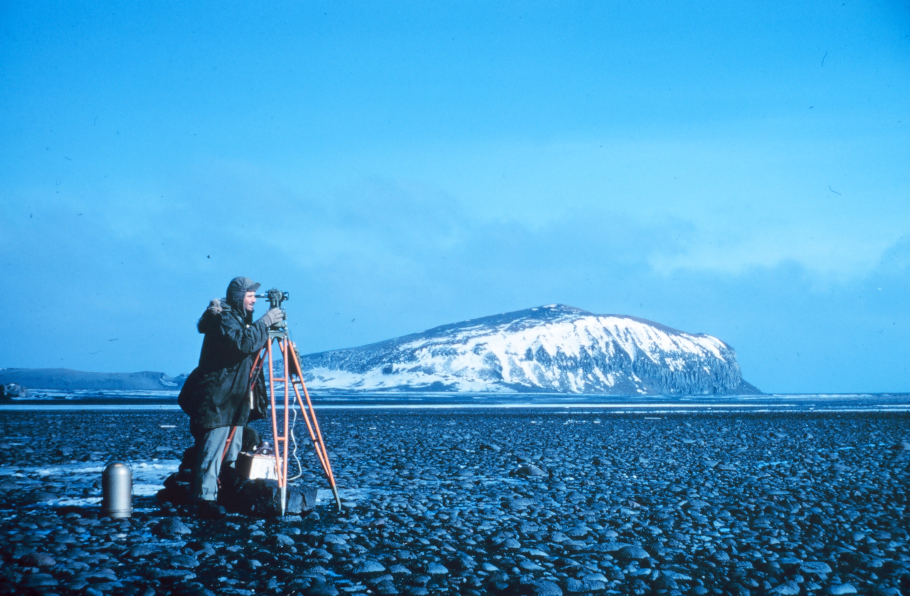
English: Station Number 044. Station Heard geographic coordinates 53 01 09 South Latitude. 73 23 35 East Longitude.
Image ID: geod0187, NOAA's Geodesy Collection Location: Heard Island, Australia Category: Geodesy/Satellite Triangulation/Stations/Indian Ocean/ |
|||
| Source | http://www.photolib.noaa.gov/bigs/geod0187.jpg , from photolib.noaa.gov | |||
| Author | National Oceanic and Atmospheric Administration | |||
| Permission (Reusing this file) |
|
| Camera location | | View this and other nearby images on: OpenStreetMap |
|---|
File history
Click on a date/time to view the file as it appeared at that time.
| Date/Time | Thumbnail | Dimensions | User | Comment | |
|---|---|---|---|---|---|
| current | 22:29, 14 August 2017 | | 1,808 × 1,184 (1.25 MB) | Seagull123 (talk | contribs) | Transferred from http://www.photolib.noaa.gov/bigs/geod0187.jpg |
You cannot overwrite this file.
File usage on Commons
There are no pages that use this file.
File usage on other wikis
The following other wikis use this file:
- Usage on rw.wikipedia.org