File:Station 97 Marbachhoehe.jpg
Jump to navigation
Jump to search
Size of this preview: 450 × 600 pixels. Other resolutions: 180 × 240 pixels | 360 × 480 pixels | 576 × 768 pixels | 768 × 1,024 pixels | 1,536 × 2,048 pixels.
Original file (1,536 × 2,048 pixels, file size: 1,007 KB, MIME type: image/jpeg)
Captions
Captions
Add a one-line explanation of what this file represents
Summary
[edit]
| Description |
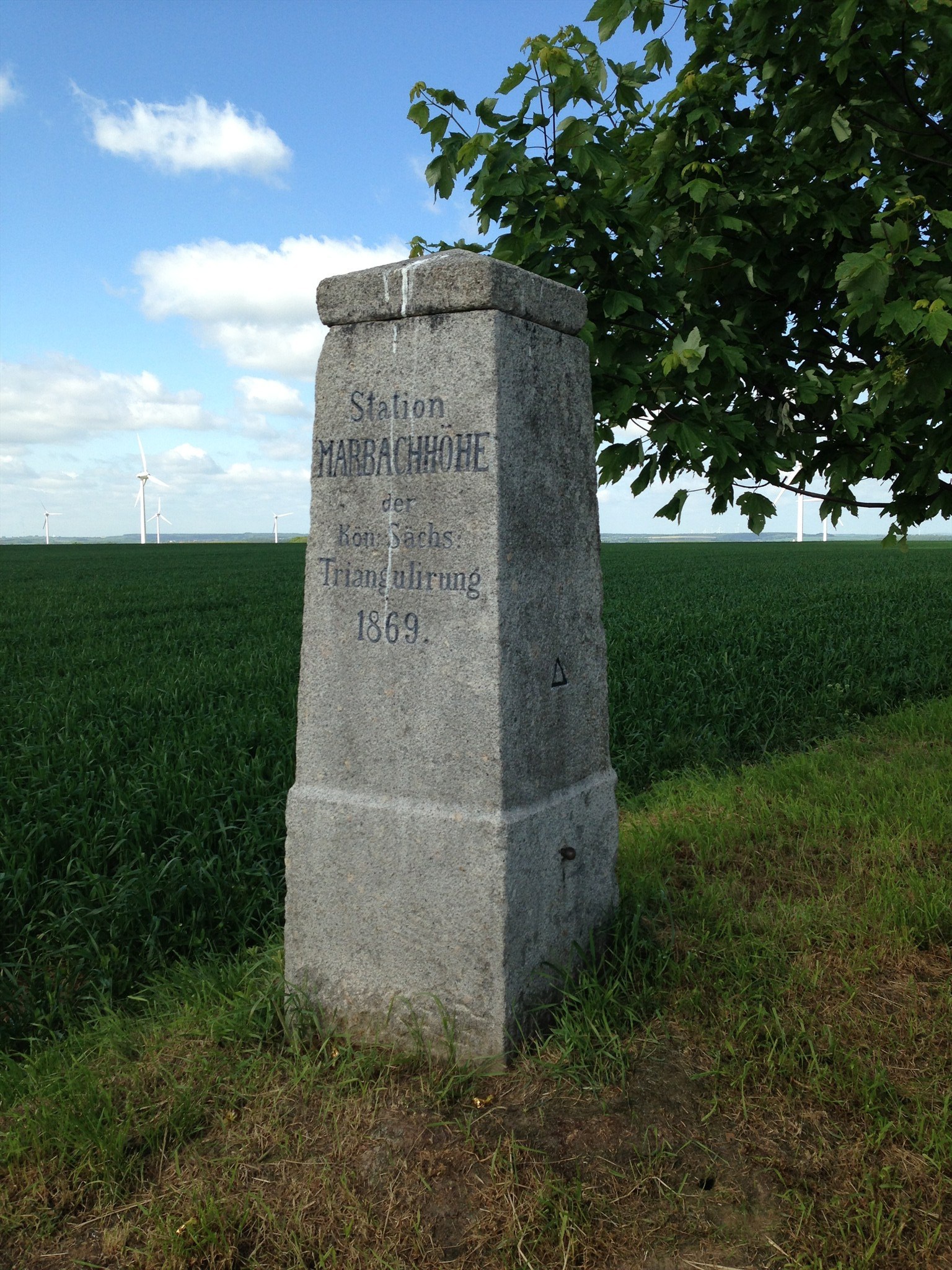
Deutsch: Triangulationsäule Station 97 Marbachhöhe Vermessungspunkt II.Ordnung in Striegistal OT Marbach
Text: Station MARBACHHÖHE der Kön:Sächs: Triangulirung 1869.
|
||
| Date | |||
| Source | Self-photographed | ||
| Author | kwc.h... |
| Camera location | | View this and other nearby images on: OpenStreetMap |
|---|
Licensing
[edit]
kwc.h..., the copyright holder of this work, hereby publishes it under the following license:
This file is licensed under the Creative Commons Attribution-Share Alike 3.0 Unported license.
Attribution: kwc.h...
- You are free:
- to share – to copy, distribute and transmit the work
- to remix – to adapt the work
- Under the following conditions:
- attribution – You must give appropriate credit, provide a link to the license, and indicate if changes were made. You may do so in any reasonable manner, but not in any way that suggests the licensor endorses you or your use.
- share alike – If you remix, transform, or build upon the material, you must distribute your contributions under the same or compatible license as the original.
| Annotations | This image is annotated: View the annotations at Commons |
File history
Click on a date/time to view the file as it appeared at that time.
| Date/Time | Thumbnail | Dimensions | User | Comment | |
|---|---|---|---|---|---|
| current | 19:27, 28 May 2013 | | 1,536 × 2,048 (1,007 KB) | Radler59 (talk | contribs) | User created page with UploadWizard |
You cannot overwrite this file.
File usage on Commons
There are no pages that use this file.