File:Staré Ransko, most přes vtok do Pobočného rybníka.jpg
Jump to navigation
Jump to search

Size of this preview: 800 × 600 pixels. Other resolutions: 320 × 240 pixels | 640 × 480 pixels | 1,024 × 768 pixels | 1,280 × 960 pixels | 2,592 × 1,944 pixels.
Original file (2,592 × 1,944 pixels, file size: 4.63 MB, MIME type: image/jpeg)
Captions
Captions
Add a one-line explanation of what this file represents
Summary
[edit]
| Description |
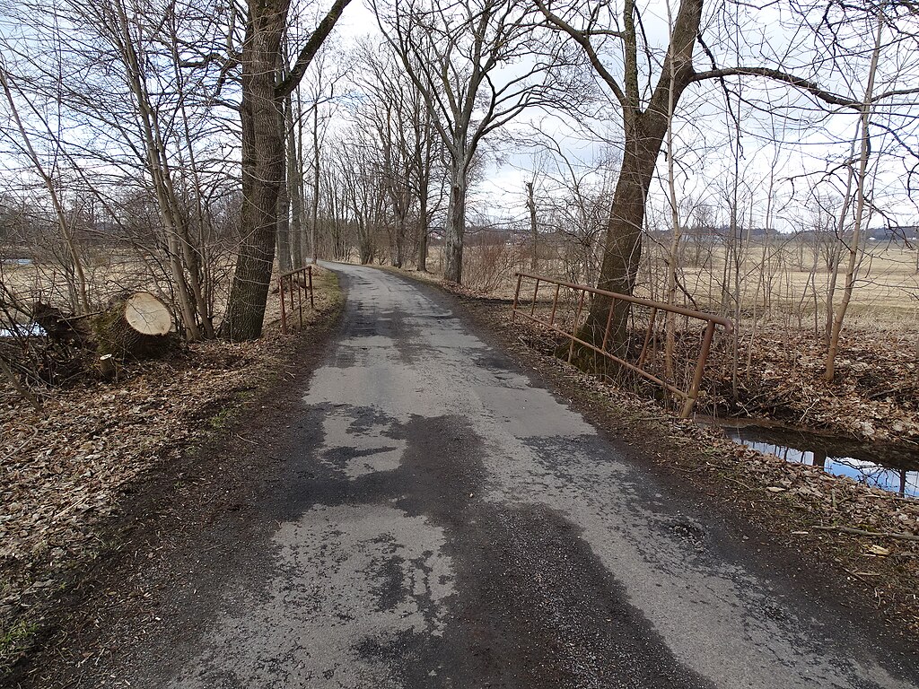
English: Krucemburk-Staré Ransko, Havlíčkův Brod District, Vysočina Region, Czechia. A road with a bridge.
|
||||
| Date | Taken on 27 February 2022 | ||||
| Source | Self-photographed | ||||
| Author | ŠJů | ||||
| Permission (Reusing this file) |
I, the copyright holder of this work, hereby publish it under the following license: This file is licensed under the Creative Commons Attribution 4.0 International license. Attribution: ŠJů, Wikimedia Commons
|
File history
Click on a date/time to view the file as it appeared at that time.
| Date/Time | Thumbnail | Dimensions | User | Comment | |
|---|---|---|---|---|---|
| current | 04:12, 5 August 2024 | | 2,592 × 1,944 (4.63 MB) | ŠJů (talk | contribs) | {{Information |Description= {{cs|1=Krucemburk-Staré Ransko, okres Havlíčkův Brod. Most nad Pobočným rybníkem.}} {{en|1=Krucemburk-Staré Ransko, Havlíčkův Brod District, Vysočina Region, Czechia. A road with a bridge.}} {{location|49.6846131|15.8198903|region:CZ_heading:330}} |Date= {{Taken on|2022-02-27}} |Source={{self-photographed}}... |
You cannot overwrite this file.
File usage on Commons
There are no pages that use this file.