File:St Peter's Church Bristol 1.jpg
Jump to navigation
Jump to search
No higher resolution available.
St_Peter's_Church_Bristol_1.jpg (640 × 426 pixels, file size: 125 KB, MIME type: image/jpeg)
Captions
Captions
Add a one-line explanation of what this file represents
| Description |
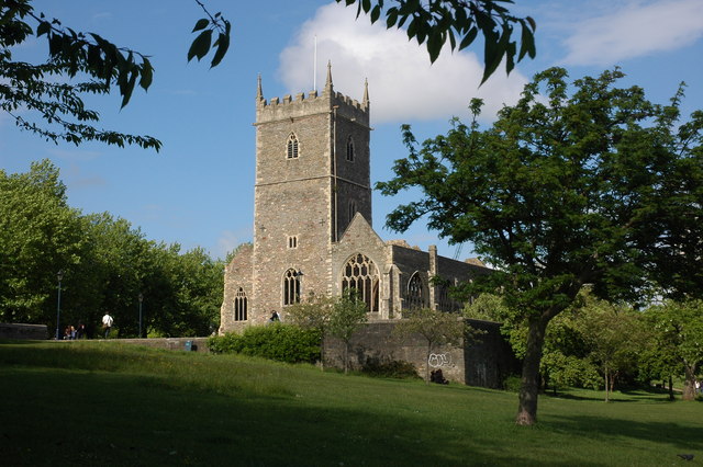
English: St Peter, Bristol |
| Date | |
| Source | From geograph.org.uk |
| Author | Philip Halling |
| Permission (Reusing this file) |
Creative Commons Attribution Share-alike license 2.0 |
| Attribution (required by the license) | Philip Halling / St Peter's Church, Bristol / |
| Camera location | | View this and other nearby images on: OpenStreetMap |
|---|

|
This image was taken from the Geograph project collection. See this photograph's page on the Geograph website for the photographer's contact details. The copyright on this image is owned by Philip Halling and is licensed for reuse under the Creative Commons Attribution-ShareAlike 2.0 license.
|
This file is licensed under the Creative Commons Attribution-Share Alike 2.0 Generic license.
Attribution: Philip Halling
- You are free:
- to share – to copy, distribute and transmit the work
- to remix – to adapt the work
- Under the following conditions:
- attribution – You must give appropriate credit, provide a link to the license, and indicate if changes were made. You may do so in any reasonable manner, but not in any way that suggests the licensor endorses you or your use.
- share alike – If you remix, transform, or build upon the material, you must distribute your contributions under the same or compatible license as the original.
Original upload log
[edit]
The original description page was here. All following user names refer to en.wikipedia.
- 2007-05-16 14:17 Rodw 640×426×??? (127807 bytes) St Mary le Port Church, Bristol St Mary le Port Church dates back to Saxon times but was destroyed on 24 November 1940 during the blitz. The ruins stand in Castle Park, Bristol. Here it is viewed from the south-west. Creative Commons Licence [Some Rights
File history
Click on a date/time to view the file as it appeared at that time.
| Date/Time | Thumbnail | Dimensions | User | Comment | |
|---|---|---|---|---|---|
| current | 09:04, 15 September 2008 | | 640 × 426 (125 KB) | TimTay (talk | contribs) | {{Information |Description={{en|St Peter, Bristol}} |Source=Transferred from [http://en.wikipedia.org en.wikipedia] |Date=2007-05-16 (original upload date) |Author=Original uploader was Rodw at [http://en.wikipedia.org en.wikipedia] |Per |
You cannot overwrite this file.
File usage on Commons
There are no pages that use this file.