File:St John the Baptist church, Muston-geograph.org.uk-3675276.jpg
From Wikimedia Commons, the free media repository
Jump to navigation
Jump to search
![File:St John the Baptist church, Muston-geograph.org.uk-3675276.jpg](https://upload.wikimedia.org/wikipedia/commons/thumb/c/cf/St_John_the_Baptist_church%2C_Muston-geograph.org.uk-3675276.jpg/800px-St_John_the_Baptist_church%2C_Muston-geograph.org.uk-3675276.jpg?20170713221236)
Size of this preview: 800 × 589 pixels. Other resolutions: 320 × 236 pixels | 640 × 471 pixels | 1,024 × 754 pixels | 1,280 × 943 pixels | 2,151 × 1,584 pixels.
Original file (2,151 × 1,584 pixels, file size: 1.75 MB, MIME type: image/jpeg)
File information
Structured data
Captions
Captions
Add a one-line explanation of what this file represents
This is a photo of listed building number 1360899. |
Summary
[edit]DescriptionSt John the Baptist church, Muston-geograph.org.uk-3675276.jpg |
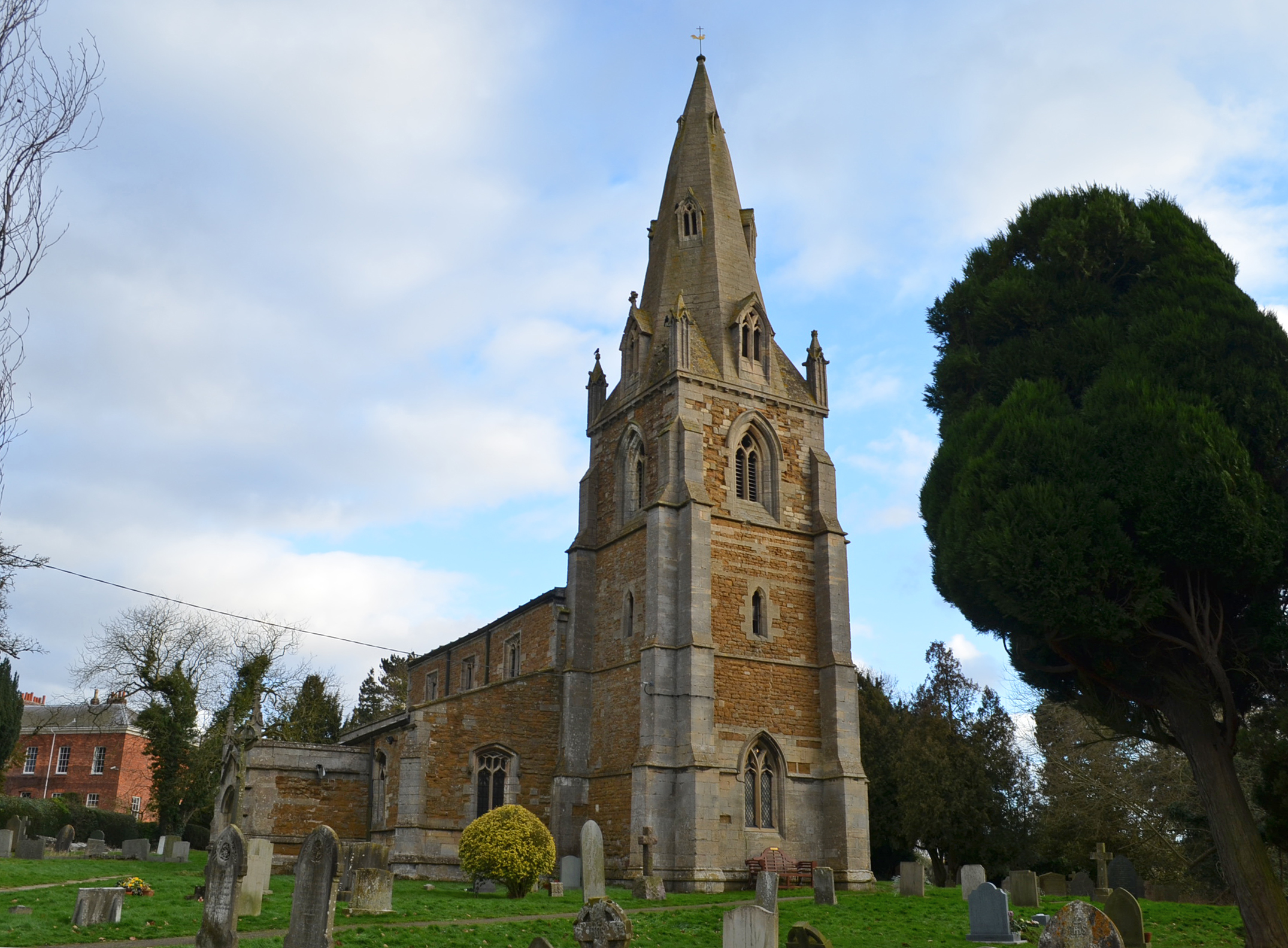
English: Parish church of St John the Baptist, Muston, Leicestershire, seen from the northwest |
Date | |
Source | geograph.org.uk |
Author | Julian P Guffogg |
Attribution (required by the license) InfoField | Julian P Guffogg / St John the Baptist church, Muston / |
InfoField | Julian P Guffogg / St John the Baptist church, Muston |
Camera location | 52° 55′ 53.82″ N, 0° 46′ 05.2″ W ![]() | View this and other nearby images on: OpenStreetMap | ![]() |
---|
Licensing
[edit]![]() |
This image was taken from the Geograph project collection. See this photograph's page on the Geograph website for the photographer's contact details. The copyright on this image is owned by Julian P Guffogg and is licensed for reuse under the Creative Commons Attribution-ShareAlike 2.0 license.
|
![w:en:Creative Commons](https://upload.wikimedia.org/wikipedia/commons/thumb/7/79/CC_some_rights_reserved.svg/90px-CC_some_rights_reserved.svg.png)
![attribution](https://upload.wikimedia.org/wikipedia/commons/thumb/1/11/Cc-by_new_white.svg/24px-Cc-by_new_white.svg.png)
![share alike](https://upload.wikimedia.org/wikipedia/commons/thumb/d/df/Cc-sa_white.svg/24px-Cc-sa_white.svg.png)
This file is licensed under the Creative Commons Attribution-Share Alike 2.0 Generic license.
Attribution: Julian P Guffogg
- You are free:
- to share – to copy, distribute and transmit the work
- to remix – to adapt the work
- Under the following conditions:
- attribution – You must give appropriate credit, provide a link to the license, and indicate if changes were made. You may do so in any reasonable manner, but not in any way that suggests the licensor endorses you or your use.
- share alike – If you remix, transform, or build upon the material, you must distribute your contributions under the same or compatible license as the original.
File history
Click on a date/time to view the file as it appeared at that time.
Date/Time | Thumbnail | Dimensions | User | Comment | |
---|---|---|---|---|---|
current | 22:12, 13 July 2017 | ![]() | 2,151 × 1,584 (1.75 MB) | Bjh21 (talk | contribs) | Higher-resolution version from Geograph. |
14:15, 17 November 2013 | ![]() | 640 × 471 (61 KB) | Plucas58 (talk | contribs) | User created page with UploadWizard |
You cannot overwrite this file.
File usage on Commons
The following page uses this file:
File usage on other wikis
The following other wikis use this file:
- Usage on en.wikipedia.org
- Usage on www.wikidata.org
Metadata
This file contains additional information such as Exif metadata which may have been added by the digital camera, scanner, or software program used to create or digitize it. If the file has been modified from its original state, some details such as the timestamp may not fully reflect those of the original file. The timestamp is only as accurate as the clock in the camera, and it may be completely wrong.
Camera manufacturer | NIKON CORPORATION |
---|---|
Camera model | NIKON D5100 |
Exposure time | 1/200 sec (0.005) |
F-number | f/7.1 |
ISO speed rating | 200 |
Date and time of data generation | 15:29, 27 January 2013 |
Lens focal length | 18 mm |
Orientation | Normal |
Horizontal resolution | 300 dpi |
Vertical resolution | 300 dpi |
Software used | Adobe Photoshop CS Windows |
File change date and time | 10:49, 29 January 2013 |
Y and C positioning | Centered |
Exposure Program | Not defined |
Exif version | 2.3 |
Date and time of digitizing | 15:29, 27 January 2013 |
Meaning of each component |
|
APEX exposure bias | 0 |
Maximum land aperture | 3.6 APEX (f/3.48) |
Metering mode | Pattern |
Light source | Unknown |
Flash | Flash did not fire, compulsory flash suppression |
DateTime subseconds | 30 |
DateTimeOriginal subseconds | 30 |
DateTimeDigitized subseconds | 30 |
Supported Flashpix version | 1 |
Color space | sRGB |
Sensing method | One-chip color area sensor |
File source | Digital still camera |
Scene type | A directly photographed image |
Custom image processing | Normal process |
Exposure mode | Auto exposure |
White balance | Auto white balance |
Digital zoom ratio | 1 |
Focal length in 35 mm film | 27 mm |
Scene capture type | Standard |
Scene control | None |
Contrast | Normal |
Saturation | Normal |
Sharpness | Normal |
Subject distance range | Unknown |
GPS tag version | 2.3.0.0 |
Supported Flashpix version | 1 |
Image width | 2,151 px |
Image height | 1,584 px |
Date metadata was last modified | 10:49, 29 January 2013 |
IIM version | 2 |
Structured data
Items portrayed in this file
depicts
52°55'53.825"N, 0°46'5.200"W
27 January 2013
0.005 second
7.1
18 millimetre
200
Categories:
- 14th-century church towers in Leicestershire
- Broach spires in Leicestershire
- Buttresses in Leicestershire
- Church of St John the Baptist, Muston
- Church porches in Leicestershire
- Church spires in Leicestershire
- Church windows in Leicestershire
- Churchyards in Leicestershire
- Clerestories in Leicestershire
- Trees in Leicestershire
Hidden categories:
- Listed buildings in England with known IDs
- Information field template with formatting
- CC-BY-SA-2.0
- Images from Geograph Britain and Ireland
- Images from Geograph Britain and Ireland missing SDC creator
- Images from Geograph Britain and Ireland missing SDC source of file
- Images from Geograph Britain and Ireland missing SDC coordinates of depicted place
- Images from Geograph Britain and Ireland missing SDC MIME type
- United Kingdom photographs taken on 2013-01-27