File:St Andrew's church - geograph.org.uk - 3252864.jpg
Original file (1,142 × 857 pixels, file size: 354 KB, MIME type: image/jpeg)
Captions
Captions
Summary
[edit]
| Description |
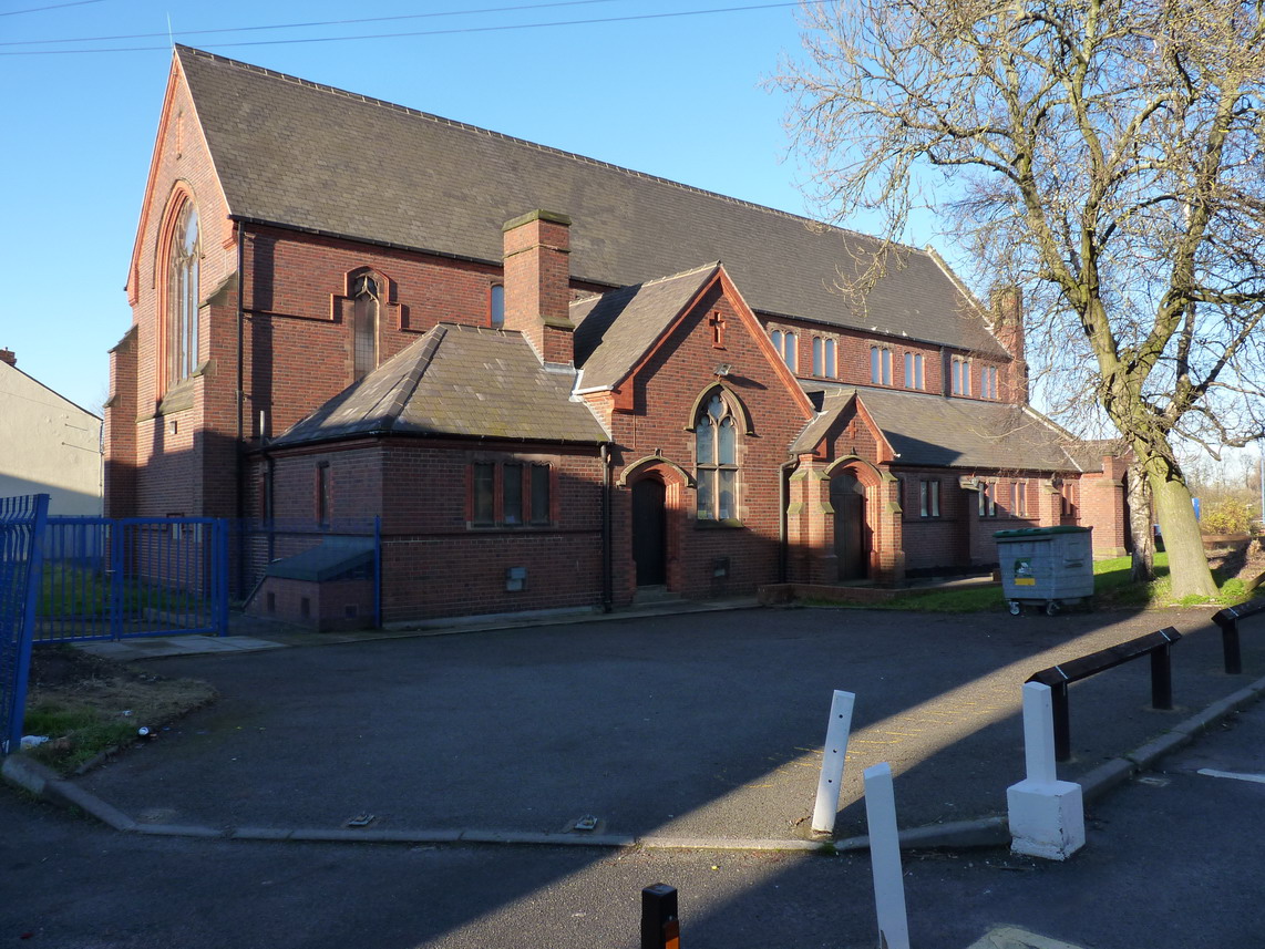
English: St Andrew's church, CTYPE html PUBLIC "-//W3C//DTD XHTML 1.0 Strict//EN"
"http://www.w3.org/TR/xhtml1/DTD/xhtml1-strict.dtd"> <html xmlns="http://www.w3.org/1999/xhtml" xml:lang="en" id="geograph"> <head> <title>St Andrew's church:: OS grid SO9991 :: Geograph Britain and Ireland - photograph every grid square!</title> <meta http-equiv="Content-Type" content="text/html; charset=iso-8859-1" /> <meta name="description" content="The sign outside the front (around to the right, and off this picture) says it's St Andrew's of Carters Green, but my maps suggest the surrounding area is known as Guns Village." /> <meta name="ICBM" content="52.524345331707, -2.0062941681805"/> <meta name="DC.title" content="Geograph:: St Andrew's church:: OS grid SO9991"/> <link rel="stylesheet" type="text/css" title="Monitor" href="http://s1.geograph.org.uk/templates/basic/css/basic.v7747.css" media="screen" /> <link rel="shortcut icon" type="image/x-icon" href="http://s1.geograph.org.uk/favicon.ico"/> <link rel="alternate" type="application/vnd.google-earth.kml+xml" href="/photo/3252864.kml"/> <link rel="search" type="application/opensearchdescription+xml" title="Geograph Britain and Ireland search" href="/stuff/osd.xml" /> <script type="text/javascript" src="http://s1.geograph.org.uk/js/geograph.v7635.js"></script> </head> <body> <a title="Geograph home page" href="/">Geograph - photograph every grid square</a><a title="Grid Reference SO9991 :: 16 images" href="/gridref/SO9991">SO9991</a> : St Andrew's churchnear to West Bromwich, Sandwell, Great Britain. |
| Date | |
| Source | From geograph.org.uk; transferred by User:andrewrabbott using geograph_org2commons. |
| Author | Richard Law |
| Permission (Reusing this file) |
Creative Commons Attribution Share-alike license 2.0 |
| Attribution (required by the license) | Richard Law / St Andrew's church / |
| Camera location | | View this and other nearby images on: OpenStreetMap |
|---|
| Object location | | View this and other nearby images on: OpenStreetMap |
|---|
_region:GB-GBN_heading:337.00&language=en)
Licensing
[edit]

|
This image was taken from the Geograph project collection. See this photograph's page on the Geograph website for the photographer's contact details. The copyright on this image is owned by Richard Law and is licensed for reuse under the Creative Commons Attribution-ShareAlike 2.0 license.
|
- You are free:
- to share – to copy, distribute and transmit the work
- to remix – to adapt the work
- Under the following conditions:
- attribution – You must give appropriate credit, provide a link to the license, and indicate if changes were made. You may do so in any reasonable manner, but not in any way that suggests the licensor endorses you or your use.
- share alike – If you remix, transform, or build upon the material, you must distribute your contributions under the same or compatible license as the original.
File history
Click on a date/time to view the file as it appeared at that time.
| Date/Time | Thumbnail | Dimensions | User | Comment | |
|---|---|---|---|---|---|
| current | 20:47, 13 March 2013 | | 1,142 × 857 (354 KB) | File Upload Bot (Magnus Manske) (talk | contribs) |
You cannot overwrite this file.
File usage on Commons
There are no pages that use this file.
File usage on other wikis
The following other wikis use this file:
- Usage on arz.wikipedia.org
- Usage on en.wikipedia.org
- Usage on www.wikidata.org