File:Spitzbergen Nordost 1864 Karte.png
Jump to navigation
Jump to search

Size of this preview: 475 × 599 pixels. Other resolutions: 190 × 240 pixels | 380 × 480 pixels | 608 × 768 pixels | 811 × 1,024 pixels | 1,347 × 1,700 pixels.
Original file (1,347 × 1,700 pixels, file size: 4.16 MB, MIME type: image/png)
Captions
Captions
Add a one-line explanation of what this file represents
Summary
[edit]| Description |
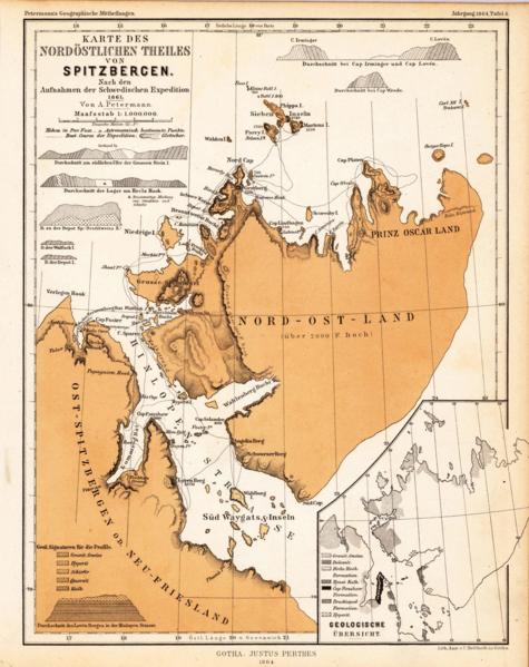
Deutsch: Alte Karte des nordöstlichen Spitzbergen nach den Aufnahmen der Schwedischen Expedition von 1861 |
||||||||||||||||||||
| Date | |||||||||||||||||||||
| Source | https://www.bergbook.com/htdocs/Greenland.htm | ||||||||||||||||||||
| Author |
|
||||||||||||||||||||

Licensing
[edit]
|
This work is in the public domain in its country of origin and other countries and areas where the copyright term is the author's life plus 100 years or fewer. | |
| This file has been identified as being free of known restrictions under copyright law, including all related and neighboring rights. | |
File history
Click on a date/time to view the file as it appeared at that time.
| Date/Time | Thumbnail | Dimensions | User | Comment | |
|---|---|---|---|---|---|
| current | 19:27, 1 September 2015 | | 1,347 × 1,700 (4.16 MB) | Ratzer (talk | contribs) | {{Information |Description ={{de|1=Alte Karte des nordöstlichen Spitzbergen nach den Aufnahmen der Schwedischen Expedition von 1861}} |Source =https://www.bergbook.com/htdocs/Greenland.htm |Author =Schwedische Expedition 1861 |Date... |
You cannot overwrite this file.
File usage on Commons
The following page uses this file:
- File:Sptzbergen Nordost 1864 Karte.png (file redirect)