File:Spezialkarte 4250 Taus und Klattau.jpg
Jump to navigation
Jump to search

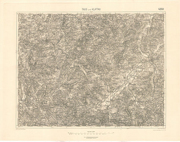
Size of this preview: 757 × 599 pixels. Other resolutions: 303 × 240 pixels | 606 × 480 pixels | 970 × 768 pixels | 1,280 × 1,014 pixels | 2,560 × 2,027 pixels | 6,976 × 5,524 pixels.
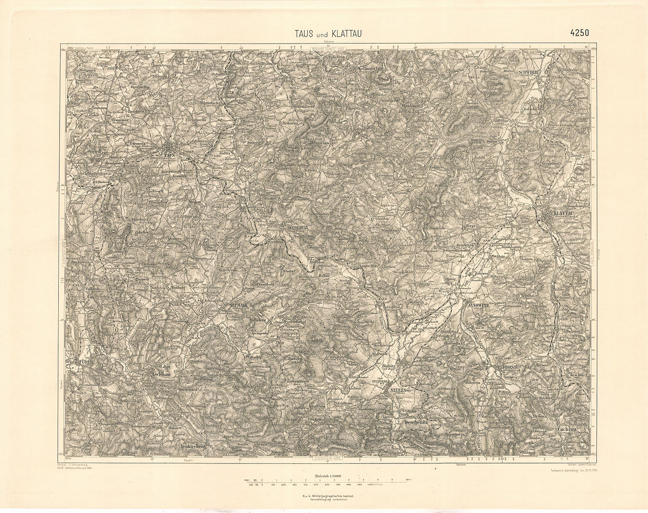
Original file (6,976 × 5,524 pixels, file size: 27.16 MB, MIME type: image/jpeg)
Captions
Captions
Add a one-line explanation of what this file represents
Summary
[edit]
| Description | historische Landkarte: Spezialkarte 1:75.000, franzisco-josephinische (3.) Landesaufnahme der österreichisch-ungarischen Monarchie. Blatt 4250 Taus und Klattau. Mit Schwihau, Neugedein, Neumark, Neuern, Janowitz, Drosau und Furth in Bayern (Chudenitz oben mitte rechts, westsüdwestlich Schwihau) |
| Date | Nach Zeichenschlüssel 1894. Teilweise berichtigt bis 30. XI. 1918 |
| Source | Archiv des k.u.k. militär-geographisches Institutes |
| Author | Geripp J. Schulenburg, Terrain Oberlt. Čokorac, k.u.k. militär-geographisches Institut. |
| Permission (Reusing this file) |
historisches amtliches Werk aus dem 19. Jahrhundert, freies Werk |
Licensing
[edit]
|
This work is in the public domain in its country of origin and other countries and areas where the copyright term is the author's life plus 70 years or fewer. | |
| This file has been identified as being free of known restrictions under copyright law, including all related and neighboring rights. | |
File history
Click on a date/time to view the file as it appeared at that time.
| Date/Time | Thumbnail | Dimensions | User | Comment | |
|---|---|---|---|---|---|
| current | 17:51, 25 June 2010 | | 6,976 × 5,524 (27.16 MB) | Josef Moser (talk | contribs) | == Summary == {{Information |Description=historische Landkarte: Spezialkarte 1:75.000, franzisco-josephinische (3.) Landesaufnahme der österreichisch-ungarischen Monarchie. Blatt 4250 Taus und Klattau. Mit Schwihau, Neugedein, Neumark, Neuern, Janowitz, |
You cannot overwrite this file.
File usage on Commons
There are no pages that use this file.
File usage on other wikis
The following other wikis use this file:
- Usage on cs.wikipedia.org
- Usage on de.wikipedia.org