File:Spessart Uebersichtskarte.png
Jump to navigation
Jump to search

Size of this preview: 638 × 599 pixels. Other resolutions: 256 × 240 pixels | 511 × 480 pixels | 1,000 × 939 pixels.
Original file (1,000 × 939 pixels, file size: 1.35 MB, MIME type: image/png)
Captions
Captions
Add a one-line explanation of what this file represents
| Description |
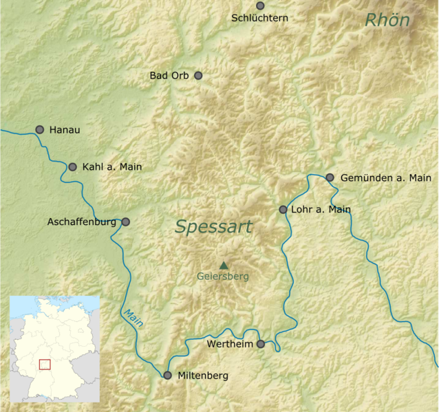
Deutsch: Übersichtskarte des Spessarts in Deutschland
English: Map of the Spessart in Germany |
| Date | |
| Source | Own work, using the General Mapping Tools and File:Germany location map.svg by NordNordWest |
| Author | Carport |
| Permission (Reusing this file) |
This file is licensed under the Creative Commons Attribution-Share Alike 3.0 Unported license.
|
| Other versions | Derivative works of this file: Ergänzte Uebersichtskarte Spessart.png |
File history
Click on a date/time to view the file as it appeared at that time.
| Date/Time | Thumbnail | Dimensions | User | Comment | |
|---|---|---|---|---|---|
| current | 17:47, 23 January 2011 | | 1,000 × 939 (1.35 MB) | Carport (talk | contribs) | {{Information |Description={{de|1=Übersichtskarte des {{w|Spessart|3=de}}s in Deutschland}} {{en|1=Map of the {{w|Spessart}} in Germany}} |Source={{own}}, using the General Mapping Tools |Date=2011-01-23 |Author={{u|Carport}} |Permission={{cc-by-sa-3.0}} |
You cannot overwrite this file.
File usage on Commons
There are no pages that use this file.
File usage on other wikis
The following other wikis use this file:
- Usage on cs.wikipedia.org
- Usage on de.wikipedia.org
- Usage on en.wikivoyage.org