File:SpaltRezatHB01.jpg
Jump to navigation
Jump to search
Size of this preview: 800 × 186 pixels. Other resolutions: 320 × 74 pixels | 640 × 148 pixels.
Original file (2,587 × 600 pixels, file size: 667 KB, MIME type: image/jpeg)
Captions
Captions
Add a one-line explanation of what this file represents
Summary
[edit]
| Description |
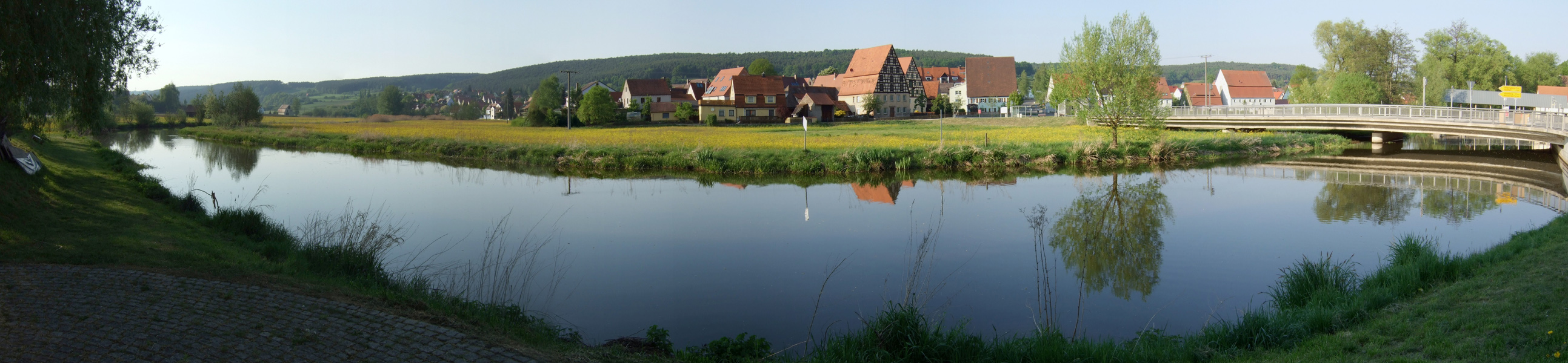
Deutsch: Fränkische Rezat in Spalt (Mittelfranken), Panorama aus 4 Fotos
English: River Rezat, near Spalt, 4 pictures stitched |
| Date | Taken on 29 April 2007 |
| Source | Own work |
| Author | Hubert Berberich (HubiB) |
| Permission (Reusing this file) |
Author: Hubert Berberich, see below |
| Camera location | | View this and other nearby images on: OpenStreetMap |
|---|
Licensing
[edit]
This file is licensed under the Creative Commons Attribution 3.0 Unported license.
- You are free:
- to share – to copy, distribute and transmit the work
- to remix – to adapt the work
- Under the following conditions:
- attribution – You must give appropriate credit, provide a link to the license, and indicate if changes were made. You may do so in any reasonable manner, but not in any way that suggests the licensor endorses you or your use.
File history
Click on a date/time to view the file as it appeared at that time.
| Date/Time | Thumbnail | Dimensions | User | Comment | |
|---|---|---|---|---|---|
| current | 20:18, 27 August 2008 | 2,587 × 600 (667 KB) | HubiB (talk | contribs) | == Beschreibung == {{Information |Description = {{de|Fränkische Rezat in Spalt (Mittelfranken), Panorama aus 4 Fotos}} {{en|River Rezat, near Spalt, 4 pictures stitched}} |Source = own work |Date = 2007-04-29 (photo taken on that day) |Author = Hubert Be |
You cannot overwrite this file.
File usage on Commons
There are no pages that use this file.
File usage on other wikis
The following other wikis use this file:
- Usage on de.wikipedia.org
- Usage on fr.wikipedia.org
- Usage on it.wikipedia.org
- Usage on pl.wikipedia.org