File:South Sudan-administrative map PL.png
Jump to navigation
Jump to search

Size of this preview: 800 × 550 pixels. Other resolutions: 320 × 220 pixels | 640 × 440 pixels | 1,024 × 704 pixels | 1,280 × 880 pixels | 2,242 × 1,542 pixels.
Original file (2,242 × 1,542 pixels, file size: 94 KB, MIME type: image/png)
Captions
Captions
Add a one-line explanation of what this file represents
Summary
[edit]
| Description |
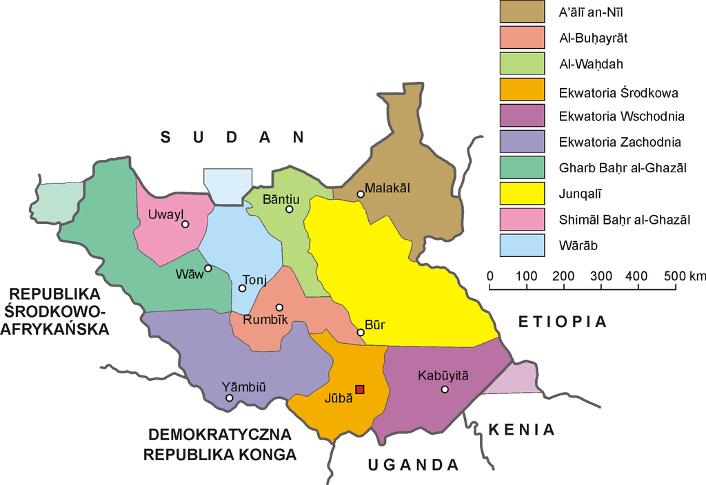
Polski: Mapa administracyjna Sudanu Południowego. Autor: Aotearoa |
| Date | 3 October 2006 (original upload date) |
| Source | Transferred from pl.wikipedia to Commons by Pjahr using CommonsHelper. |
| Author | Aotearoa at Polish Wikipedia |
| Other versions |
 |
Licensing
[edit]
Aotearoa at Polish Wikipedia, the copyright holder of this work, hereby publishes it under the following license:

|
Permission is granted to copy, distribute and/or modify this document under the terms of the GNU Free Documentation License, Version 1.2 or any later version published by the Free Software Foundation; with no Invariant Sections, no Front-Cover Texts, and no Back-Cover Texts. A copy of the license is included in the section entitled GNU Free Documentation License. |
| This file is licensed under the Creative Commons Attribution-Share Alike 3.0 Unported license. | ||
| Attribution: Aotearoa at Polish Wikipedia | ||
| ||
| This licensing tag was added to this file as part of the GFDL licensing update. |
Original upload log
[edit]
The original description page was here. All following user names refer to pl.wikipedia.
- 2006-10-03 07:42 Aotearoa 2242×1542× (104573 bytes) Mapa administracyjna Sudanu Południowego. Autor: [[Wikipedysta:Aotearoa|Aotearoa]]
File history
Click on a date/time to view the file as it appeared at that time.
| Date/Time | Thumbnail | Dimensions | User | Comment | |
|---|---|---|---|---|---|
| current | 14:11, 4 November 2011 | | 2,242 × 1,542 (94 KB) | Nicolay Sidorov (talk | contribs) | + disputed areas |
| 14:04, 9 July 2011 |  | 2,242 × 1,542 (120 KB) | Nicolay Sidorov (talk | contribs) | bold border between Northern Sudan and Rep. of South Sudan | |
| 18:18, 1 December 2009 |  | 2,242 × 1,542 (102 KB) | File Upload Bot (Magnus Manske) (talk | contribs) | {{BotMoveToCommons|pl.wikipedia|year={{subst:CURRENTYEAR}}|month={{subst:CURRENTMONTHNAME}}|day={{subst:CURRENTDAY}}}} {{Information |Description={{pl|Mapa administracyjna Sudanu Południowego. Autor: Aotearoa}} |Source=Trans |
You cannot overwrite this file.
File usage on Commons
The following page uses this file:
File usage on other wikis
The following other wikis use this file:
- Usage on en.wikipedia.org
- Usage on es.wikinews.org
- Usage on pl.wikipedia.org
- Usage on sk.wikipedia.org
- Usage on szl.wikipedia.org