File:South Framingham aerial map 1898.jpg
Jump to navigation
Jump to search

Size of this preview: 800 × 596 pixels. Other resolutions: 320 × 238 pixels | 640 × 477 pixels | 1,024 × 763 pixels | 1,280 × 953 pixels | 2,560 × 1,906 pixels | 9,776 × 7,280 pixels.
Original file (9,776 × 7,280 pixels, file size: 29.94 MB, MIME type: image/jpeg)
Captions
Captions
Add a one-line explanation of what this file represents
| Warning | The original file is very high-resolution. It might not load properly or could cause your browser to freeze when opened at full size. |
|---|
| Description |
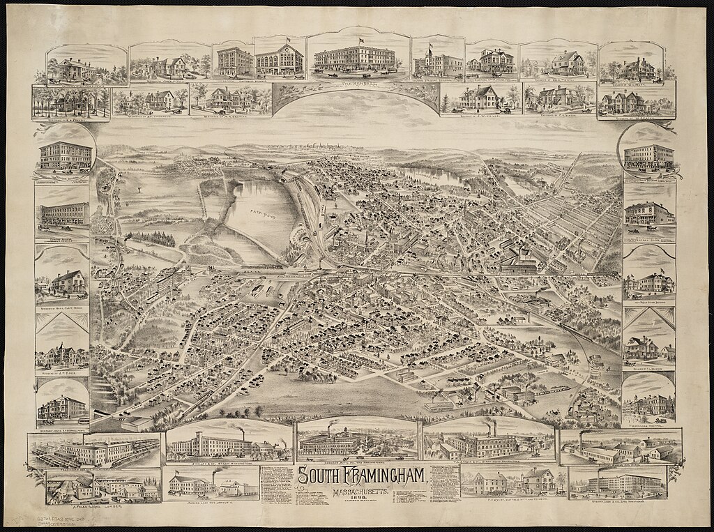
English: 1898 aerial map of South Framingham, Massachusetts |
||
| Date | |||
| Source | Norman B. Leventhal Map Center at the BPL on flickr (larger version from BPL site) | ||
| Author | Published by O.H. Bailey Co. | ||
| Permission (Reusing this file) |
|
File history
Click on a date/time to view the file as it appeared at that time.
| Date/Time | Thumbnail | Dimensions | User | Comment | |
|---|---|---|---|---|---|
| current | 08:17, 23 February 2013 | | 9,776 × 7,280 (29.94 MB) | Pi.1415926535 (talk | contribs) | Larger version direct from BPL site |
| 08:15, 23 February 2013 |  | 2,000 × 1,490 (2.8 MB) | Pi.1415926535 (talk | contribs) | {{Information |Description ={{en|1=1898 aerial map of South Framingham, Massachusetts}} |Source =[http://www.flickr.com/photos/normanbleventhalmapcenter/2675869878/ Norman B. Leventhal Map Center at the BPL] on flickr |Author =Publis... |
You cannot overwrite this file.
File usage on Commons
The following 2 pages use this file:
- File:South Framingham, Massachusetts (2674814251).jpg (file redirect)
- File:South Framingham, Massachusetts (2675869878).jpg (file redirect)
.jpg&redirect=no)
.jpg&redirect=no)