File:South Fork Owyhee BLM.jpeg
Jump to navigation
Jump to search
No higher resolution available.
South_Fork_Owyhee_BLM.jpeg (375 × 500 pixels, file size: 57 KB, MIME type: image/jpeg)
Captions
Captions
Add a one-line explanation of what this file represents
| Description |
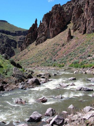
English: The South Fork Owyhee River, which flows north from northern Nevada through the desert and into the Owyhee River in the southwestern corner of Idaho |
|||
| Date | Unknown date | |||
| Source | [1] | |||
| Author | U.S. Bureau of Land Management | |||
| Permission (Reusing this file) |
|
File history
Click on a date/time to view the file as it appeared at that time.
| Date/Time | Thumbnail | Dimensions | User | Comment | |
|---|---|---|---|---|---|
| current | 00:10, 30 July 2012 | | 375 × 500 (57 KB) | Jsayre64 (talk | contribs) | {{Information |Description ={{en|1=The South Fork Owyhee River, which flows from northern Nevada to the Owyhee River in the southwest corner of Idaho}} |Source =http://www.blm.gov/id/st/en/fo/owyhee/special_areas/wsas/South_Fork.html |Author... |
You cannot overwrite this file.
File usage on Commons
There are no pages that use this file.