File:South East Iraq , 586 B.C..png
Jump to navigation
Jump to search
Size of this preview: 495 × 599 pixels. Other resolutions: 198 × 240 pixels | 397 × 480 pixels | 635 × 768 pixels | 846 × 1,024 pixels | 1,338 × 1,619 pixels.
Original file (1,338 × 1,619 pixels, file size: 4.94 MB, MIME type: image/png)
Captions
Captions
Add a one-line explanation of what this file represents
Summary
[edit]
| Description |
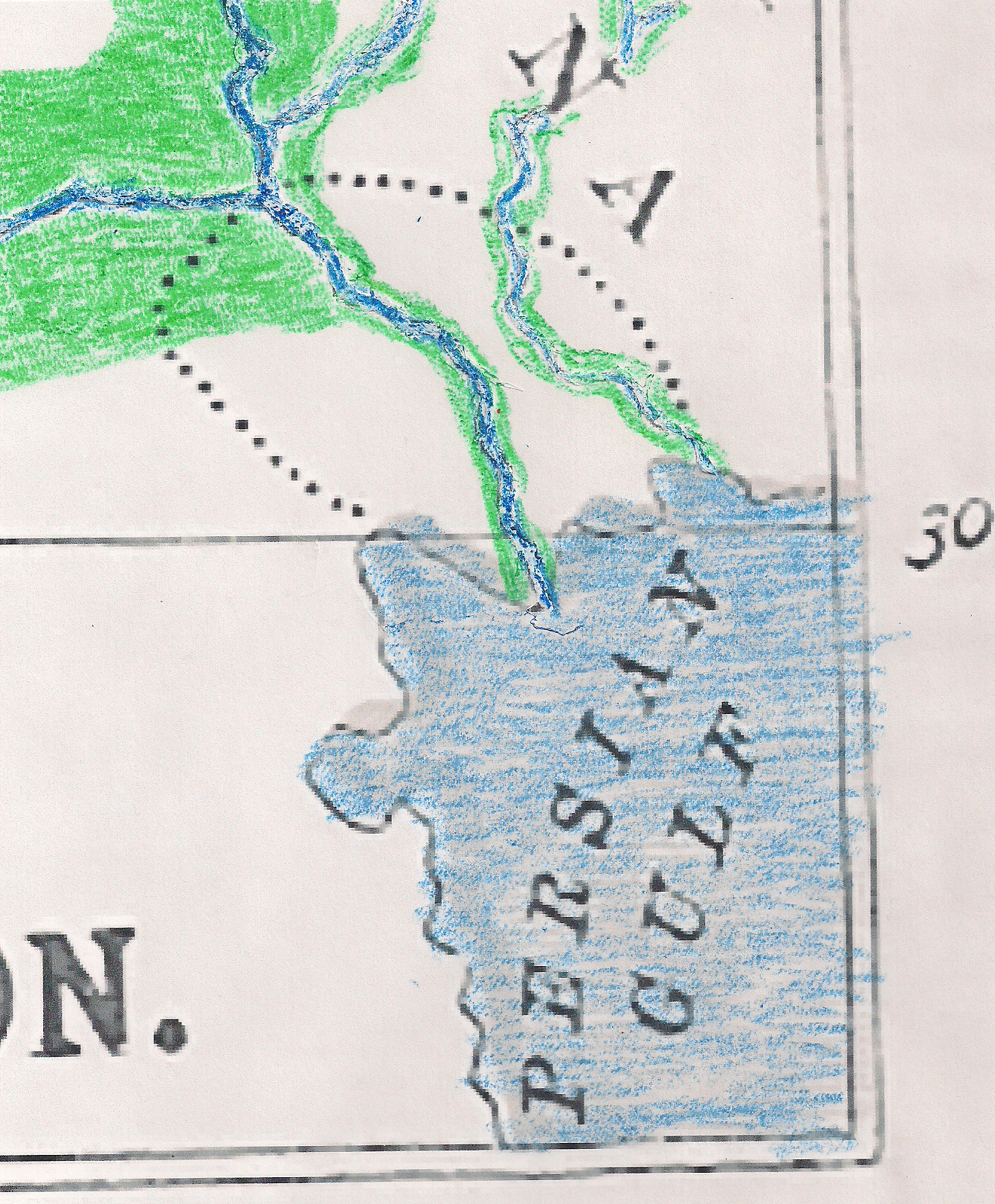
English: Shows south east Iraq at about 586 BCE, showing Chaldaea proper.
|
| Date | |
| Source | A General History for Colleges and High schools by P. V. N. Myers, published in 1890. |
| Author | Chuck Marean from a map in a history book that was published in 1890. |
Licensing
[edit]
This media file is in the public domain in the United States. This applies to U.S. works where the copyright has expired, often because its first publication occurred prior to January 1, 1929, and if not then due to lack of notice or renewal. See this page for further explanation.
|
 | |
 |
This image might not be in the public domain outside of the United States; this especially applies in the countries and areas that do not apply the rule of the shorter term for US works, such as Canada, Mainland China (not Hong Kong or Macao), Germany, Mexico, and Switzerland. The creator and year of publication are essential information and must be provided. See Wikipedia:Public domain and Wikipedia:Copyrights for more details.
|
File history
Click on a date/time to view the file as it appeared at that time.
| Date/Time | Thumbnail | Dimensions | User | Comment | |
|---|---|---|---|---|---|
| current | 05:54, 14 September 2009 | | 1,338 × 1,619 (4.94 MB) | Chuck Marean (talk | contribs) | Category:Book illustrations Category:19th century drawings [[Category:|Maps of the Neo-Babylonian Empire]] |
| 16:09, 6 September 2009 |  | 170 × 210 (73 KB) | Chuck Marean (talk | contribs) | {{Information |Description=: Shows south east Iraq at about 586 B.C., showing Chaldaea proper. The Chaldaeans at first lived on the delta and gradually took over Babylonia. They may have named the planets about this time. Map is from a history book publis | |
| 04:34, 6 September 2009 |  | 394 × 575 (58 KB) | Chuck Marean (talk | contribs) | {{Information |Description={{en|1=Shows south east Iraq at about 586 B.C., showing Chaldaea proper. The Chaldaeans at first lived on the delta and gradually took over Babylonia. They may have named the planets about this time. Map is from a history book p |
You cannot overwrite this file.
File usage on Commons
There are no pages that use this file.