File:South Asia countries.png
Jump to navigation
Jump to search
No higher resolution available.
South_Asia_countries.png (514 × 381 pixels, file size: 49 KB, MIME type: image/png)
Captions
Captions
Add a one-line explanation of what this file represents
Summary
[edit]
| Description |
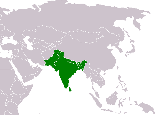
English: Locater map for South Asia with states highlighted |
| Date | 15 October 2005 (original upload date) |
| Source |
(Original text: Koavf (talk) (Uploads) based on :Image:BlankMap-World.png) |
| Author | Koavf at English Wikipedia) (Uploads |
Licensing
[edit]
| This work has been released into the public domain by its author, Koavf at English Wikipedia. This applies worldwide. In some countries this may not be legally possible; if so: Koavf grants anyone the right to use this work for any purpose, without any conditions, unless such conditions are required by law. |
Original upload log
[edit]
Transferred from en.wikipedia to Commons by Quadell using CommonsHelper.
The original description page was here. All following user names refer to en.wikipedia.
- 2005-10-15 18:58 Koavf 514×381× (49838 bytes)
File history
Click on a date/time to view the file as it appeared at that time.
| Date/Time | Thumbnail | Dimensions | User | Comment | |
|---|---|---|---|---|---|
| current | 15:19, 23 September 2011 | | 514 × 381 (49 KB) | File Upload Bot (Magnus Manske) (talk | contribs) | {{BotMoveToCommons|en.wikipedia|year={{subst:CURRENTYEAR}}|month={{subst:CURRENTMONTHNAME}}|day={{subst:CURRENTDAY}}}} {{Information |Description={{en|Locater map for South Asia<br/> en:Category:User-created public domain images from April 2009}} | |
You cannot overwrite this file.
File usage on Commons
There are no pages that use this file.
File usage on other wikis
The following other wikis use this file: