File:South America map.png
Jump to navigation
Jump to search
Size of this preview: 408 × 600 pixels. Other resolutions: 163 × 240 pixels | 326 × 480 pixels | 522 × 768 pixels | 1,061 × 1,560 pixels.
Original file (1,061 × 1,560 pixels, file size: 873 KB, MIME type: image/png)
Captions
Captions
Add a one-line explanation of what this file represents
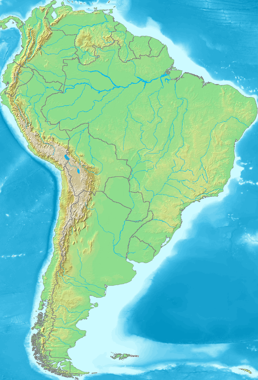
| Description | Map of South America |
| Date | |
| Source | own work based on a PD map from Demis |
| Author | Radosław Botev |
| Permission (Reusing this file) |
This file is licensed under the Creative Commons Attribution-Share Alike 2.5 Poland license.
 |
File history
Click on a date/time to view the file as it appeared at that time.
| Date/Time | Thumbnail | Dimensions | User | Comment | |
|---|---|---|---|---|---|
| current | 15:02, 27 March 2009 | | 1,061 × 1,560 (873 KB) | Botev (talk | contribs) | {{Information |Description=Map of South America |Source=own work based on a PD map from Demis |Date=March 27th, 2009 |Author=Radosław Botev |Permission={{cc-by-sa-2.5-pl}} |other_versions= }} Category:Maps of South America <!--{{Im |
You cannot overwrite this file.
File usage on Commons
There are no pages that use this file.
File usage on other wikis
The following other wikis use this file:
- Usage on de.wikipedia.org
- Usage on es.wikipedia.org