File:South America-en.svg
Jump to navigation
Jump to search

Size of this PNG preview of this SVG file: 528 × 600 pixels. Other resolutions: 211 × 240 pixels | 423 × 480 pixels | 676 × 768 pixels | 901 × 1,024 pixels | 1,803 × 2,048 pixels | 530 × 602 pixels.
Original file (SVG file, nominally 530 × 602 pixels, file size: 183 KB)
Captions
Captions
Add a one-line explanation of what this file represents
Summary
[edit]
| Description |
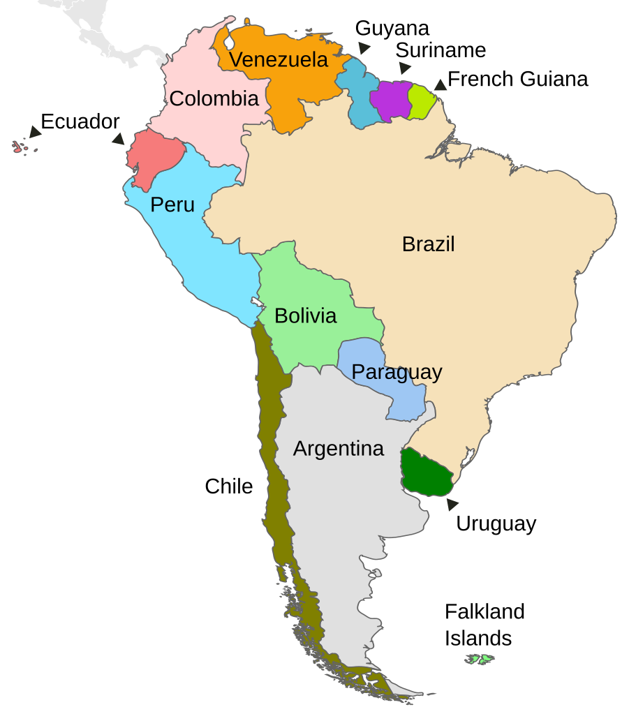
English: Political map of South America |
||
| Date | |||
| Source | Own work based on: Map-Latin America.svg by Yug | ||
| Author | DavoO | ||
| Other versions |
Derivative works of this file:
|
||
| SVG development |
|
Licensing
[edit]
This file is licensed under the Creative Commons Attribution-Share Alike 3.0 Unported license.
- You are free:
- to share – to copy, distribute and transmit the work
- to remix – to adapt the work
- Under the following conditions:
- attribution – You must give appropriate credit, provide a link to the license, and indicate if changes were made. You may do so in any reasonable manner, but not in any way that suggests the licensor endorses you or your use.
- share alike – If you remix, transform, or build upon the material, you must distribute your contributions under the same or compatible license as the original.
Original upload log
[edit]
This image is a derivative work of the following images:
- Map-Latin America.svg licensed with PD-user
- 2009-04-28T12:13:37Z Kmusser 1000x1250 (264765 Bytes) Missed Saint-Martin
- 2009-04-27T14:24:40Z Kmusser 1000x1250 (265076 Bytes) added french speaking areas, subtracted english and dutch speaking areas
- 2009-03-20T22:24:11Z DavoO 1000x1250 (265673 Bytes) {{Information |Description= |Source=*[[:File:Map-Latin_America2.png|]] |Date=2009-03-20 22:22 (UTC) |Author=*[[:File:Map-Latin_America2.png|]]: '''Yug''' *derivative work: ~~~ |Permission=see below |other_versions= }} {{Reto
Uploaded with derivativeFX
File history
Click on a date/time to view the file as it appeared at that time.
| Date/Time | Thumbnail | Dimensions | User | Comment | |
|---|---|---|---|---|---|
| current | 14:03, 23 December 2010 | | 530 × 602 (183 KB) | Kmusser (talk | contribs) | delete square |
| 11:02, 22 December 2010 |  | 530 × 602 (183 KB) | Themightyquill (talk | contribs) | unexplained black square? | |
| 11:00, 22 December 2010 |  | 530 × 602 (183 KB) | Themightyquill (talk | contribs) | Falklands, central america connection | |
| 10:28, 22 December 2010 |  | 530 × 602 (165 KB) | Themightyquill (talk | contribs) | move "argentina" | |
| 10:27, 22 December 2010 |  | 530 × 602 (165 KB) | Themightyquill (talk | contribs) | fix spelling | |
| 10:24, 22 December 2010 |  | 530 × 602 (164 KB) | Themightyquill (talk | contribs) | {{Information |Description={{en|Map of countries in South America}} |Source=*File:Map-Latin_America.svg |Date=2010-12-22 10:23 (UTC) |Author=*File:Map-Latin_America.svg: *Map-Latin_America2.png: '''Yug''' *deri |
You cannot overwrite this file.
File usage on Commons
The following 3 pages use this file:
File usage on other wikis
The following other wikis use this file:
- Usage on bh.wikipedia.org
- Usage on bn.wikipedia.org
- Usage on en.wikipedia.org
- Usage on fr.wikipedia.org
- Usage on incubator.wikimedia.org
- Usage on ta.wikipedia.org
- Usage on zh.wikipedia.org