File:Sonning cutting map.jpg

Original file (1,160 × 529 pixels, file size: 75 KB, MIME type: image/jpeg)
Captions
Captions
Summary
[edit]| Description | |
| Date | 29 March 2007 (original upload date) |
| Source | Own work by the original uploader |
| Author | User:N.Hopton |


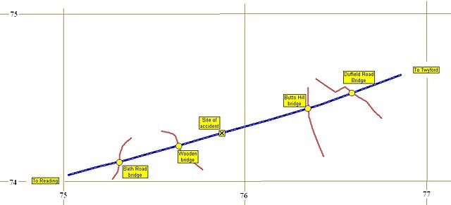
I created this image using GPS Trackmaker, Irfanview and GPS tracks of my own, with some details traced from an out-of-copyright Ordnance Survey map dated 1936.
I herewith release the image to the public domain.
Nick 12:43, 29 March 2007 (UTC)
Licensing
[edit]
| This work has been released into the public domain by its author, N.Hopton. This applies worldwide. In some countries this may not be legally possible; if so: |
Original upload log
[edit]
Transferred from en.wikipedia to Commons using For the Common Good.
| Date/Time | Dimensions | User | Comment |
|---|---|---|---|
| 12:43, 29 March 2007 | 1,160 × 529 (76,794 bytes) | w:en:N.Hopton (talk | contribs) | I created this image using GPS Trackmaker, Irfanview and GPS tracks of my own, with some details traced from out-of-copyright Ordnance Survey maps dating from the 1920s. I herewith release the image to the public domain. ~~~~ |
File history
Click on a date/time to view the file as it appeared at that time.
| Date/Time | Thumbnail | Dimensions | User | Comment | |
|---|---|---|---|---|---|
| current | 16:27, 20 February 2017 | | 1,160 × 529 (75 KB) | Andy Dingley (talk | contribs) | Transferred from en.wikipedia: see original upload log above |
You cannot overwrite this file.
File usage on Commons
The following page uses this file:
File usage on other wikis
The following other wikis use this file:
- Usage on en.wikipedia.org
- Usage on es.wikipedia.org