File:SoCal megaregion.png
Jump to navigation
Jump to search
No higher resolution available.
SoCal_megaregion.png (634 × 479 pixels, file size: 116 KB, MIME type: image/png)
Captions
Captions
Add a one-line explanation of what this file represents
| Description |
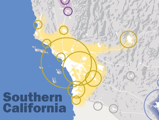
English: This map, created by the Regional Plan Association, illustrates the Southern California megaregion |
| Date | (UTC) |
| Source | |
| Author |
|
| This is a retouched picture, which means that it has been digitally altered from its original version. Modifications: Cropped to focus on the Southern California megraregion. The original can be viewed here: MapofEmergingUSMegaregions.png:
|
I, the copyright holder of this work, hereby publish it under the following license:
This file is licensed under the Creative Commons Attribution-Share Alike 3.0 Unported license.
- You are free:
- to share – to copy, distribute and transmit the work
- to remix – to adapt the work
- Under the following conditions:
- attribution – You must give appropriate credit, provide a link to the license, and indicate if changes were made. You may do so in any reasonable manner, but not in any way that suggests the licensor endorses you or your use.
- share alike – If you remix, transform, or build upon the material, you must distribute your contributions under the same or compatible license as the original.
Original upload log
[edit]
This image is a derivative work of the following images:
- File:MapofEmergingUSMegaregions.png licensed with Cc-by-sa-3.0
- 2010-09-03T15:51:04Z Tryphon 1200x800 (625069 Bytes) Removed watermark.
- 2009-09-08T14:05:47Z IrvingPlNYC 1200x800 (665112 Bytes) {{Information |Description={{en|1=This map, created by the Regional Plan Association, illustrates eleven metropolitan areas that are growing into megaregions.}} |Source=Own work by uploader |Author=[[User:IrvingPlNYC|IrvingPl
Uploaded with derivativeFX
File history
Click on a date/time to view the file as it appeared at that time.
| Date/Time | Thumbnail | Dimensions | User | Comment | |
|---|---|---|---|---|---|
| current | 23:51, 5 March 2011 | | 634 × 479 (116 KB) | 08OceanBeach SD (talk | contribs) | {{Information |Description={{en|1=This map, created by the Regional Plan Association, illustrates the Southern California megaregion}} |Source=*File:MapofEmergingUSMegaregions.png |Date=2011-03-05 23:49 (UTC) |Author=*[[:File:MapofEmergingUSMegaregi |
You cannot overwrite this file.
File usage on Commons
There are no pages that use this file.
File usage on other wikis
The following other wikis use this file:
- Usage on cs.wikipedia.org
- Usage on en.wikipedia.org
- Los Angeles
- Santa Monica, California
- San Diego
- Las Vegas
- Southern California
- Huntington Beach, California
- Santa Ana, California
- Beverly Hills, California
- Anaheim, California
- Glendale, California
- Greater Los Angeles
- Long Beach, California
- Tijuana
- El Centro, California
- Burbank, California
- Carson, California
- Malibu, California
- Costa Mesa, California
- Garden Grove, California
- Corona, California
- Moreno Valley, California
- Riverside, California
- Fontana, California
- Ontario, California
- Rancho Cucamonga, California
- San Bernardino, California
- Carlsbad, California
- Chula Vista, California
- El Cajon, California
- Escondido, California
- Oceanside, California
- San Luis Obispo, California
- Santa Barbara, California
- Santa Maria, California
- Oxnard, California
- Henderson, Nevada
- North Las Vegas, Nevada
- Las Vegas Valley
- California megapolitan areas
- Irvine, California
- Santa Clarita, California
- San Diego–Tijuana
- Megaregions of the United States
- Tijuana metropolitan area
- Inland Empire
- Template:Southern California megaregion
- User:Nate.beisheim/sandbox10
- Usage on it.wikipedia.org
- Usage on ml.wikipedia.org
View more global usage of this file.