File:Smithland Lock and Dam at Cumberland confluence.jpg
Jump to navigation
Jump to search
Size of this preview: 800 × 450 pixels. Other resolutions: 320 × 180 pixels | 640 × 360 pixels | 1,024 × 576 pixels | 1,280 × 720 pixels | 2,816 × 1,584 pixels.
Original file (2,816 × 1,584 pixels, file size: 836 KB, MIME type: image/jpeg)
Captions
Captions
Add a one-line explanation of what this file represents
| Camera location | | View this and other nearby images on: OpenStreetMap |
|---|
| Description |
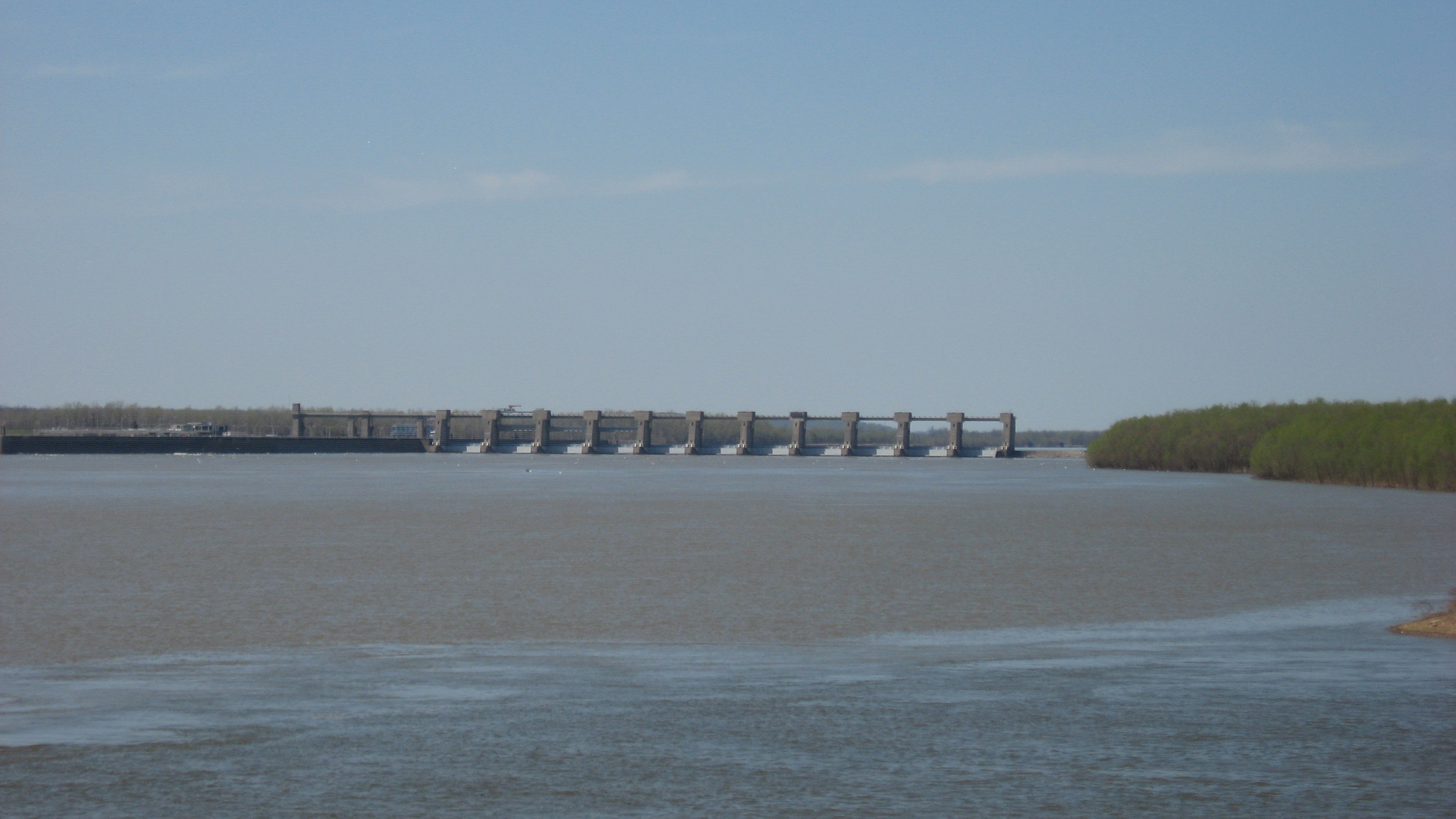
English: Looking northward from Riverside Drive in Smithland, Kentucky, United States toward the Smithland Lock and Dam on the Ohio River. In the foreground is visible the confluence of the Ohio and Cumberland Rivers — the color difference is the separation between the two rivers' waters. |
||
| Date | Taken on 13 April 2013 | ||
| Source | Own work | ||
| Author | Nyttend | ||
| Permission (Reusing this file) |
|
File history
Click on a date/time to view the file as it appeared at that time.
| Date/Time | Thumbnail | Dimensions | User | Comment | |
|---|---|---|---|---|---|
| current | 17:20, 16 April 2013 | | 2,816 × 1,584 (836 KB) | Nyttend (talk | contribs) | {{Location|37|8|31.2|N|88|24|24.3|W}} {{Information |Description={{en|Looking northward from Riverside Drive in {{w|Smithland, Kentucky|Smithland}}, {{w|Kentucky}}, {{w|United States}} toward the Smithland Lock and Dam on the {{w|Ohio River}}. In the ... |
You cannot overwrite this file.
File usage on Commons
There are no pages that use this file.