File:Small Isles blank.svg
Jump to navigation
Jump to search

Size of this PNG preview of this SVG file: 800 × 428 pixels. Other resolutions: 320 × 171 pixels | 640 × 342 pixels | 1,024 × 548 pixels | 1,280 × 685 pixels | 2,560 × 1,369 pixels | 4,370 × 2,337 pixels.
Original file (SVG file, nominally 4,370 × 2,337 pixels, file size: 2.37 MB)
Captions
Captions
Add a one-line explanation of what this file represents
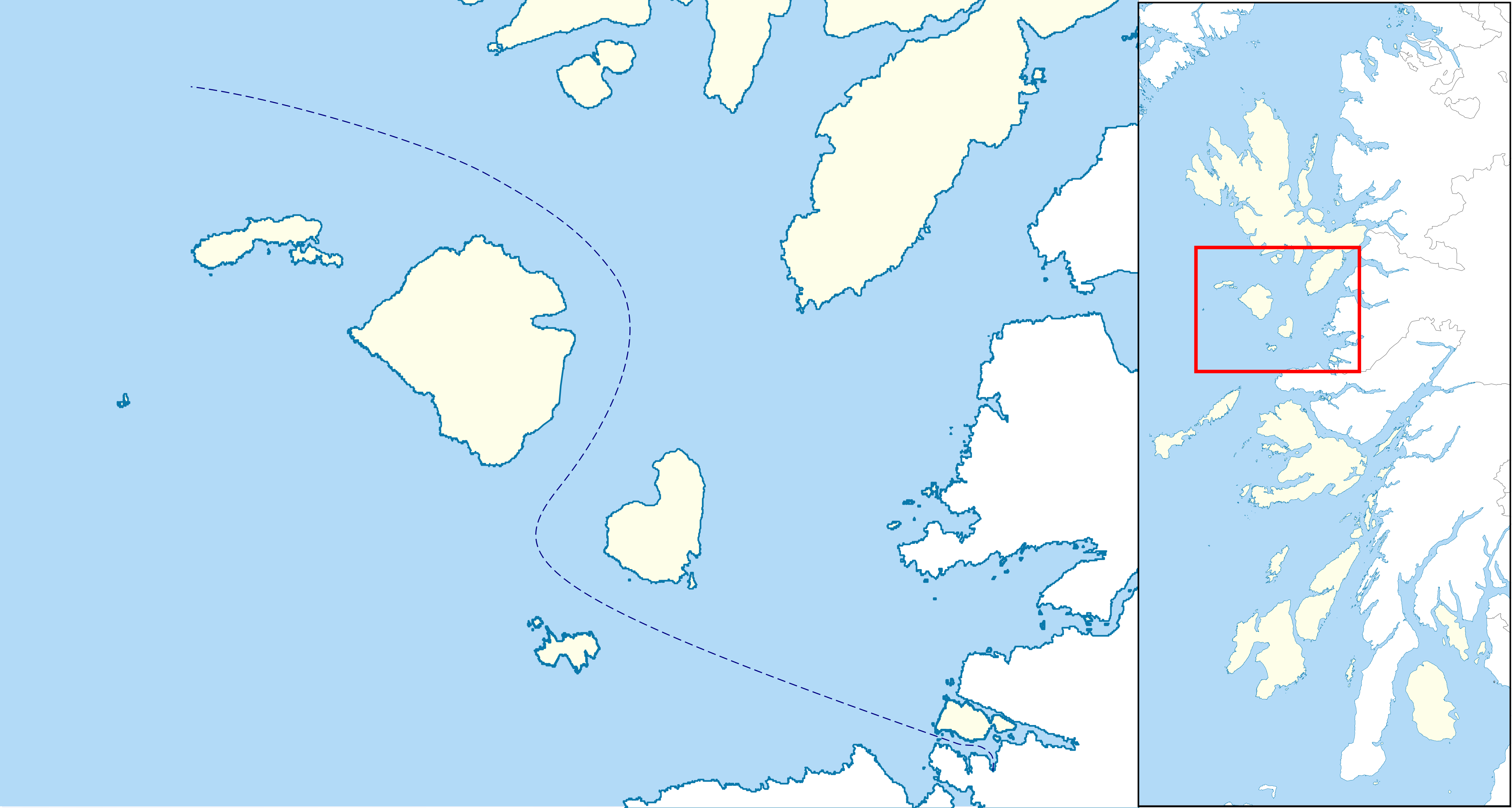
| Description | Blank map of the Small Isles in the Inner Hebrides, for producing locator maps |
| Date | |
| Source | Inner Hebrides blank.svg |
| Author | Hogweard |
| Permission (Reusing this file) |
This file is licensed under the Creative Commons Attribution-Share Alike 3.0 Unported license. Attribution: Contains Ordnance Survey data © Crown copyright and database right
|
File history
Click on a date/time to view the file as it appeared at that time.
| Date/Time | Thumbnail | Dimensions | User | Comment | |
|---|---|---|---|---|---|
| current | 20:44, 19 November 2015 | | 4,370 × 2,337 (2.37 MB) | Hogweard (talk | contribs) | {{Information |Description=Blank map of the Small Isles in the Inner Hebrides, for producing locator maps |Source=Inner Hebrides blank.svg |Date=2015-11-19 |Author=Hogweard |Permission={{cc-by-sa-3.0... |
You cannot overwrite this file.
File usage on Commons
There are no pages that use this file.