File:Skylon Tower from National Map USGS.jpg
Jump to navigation
Jump to search
Size of this preview: 800 × 519 pixels. Other resolutions: 320 × 208 pixels | 640 × 415 pixels | 1,024 × 664 pixels | 1,184 × 768 pixels.
Original file (1,184 × 768 pixels, file size: 274 KB, MIME type: image/jpeg)
Captions
Captions
Add a one-line explanation of what this file represents
| Description |
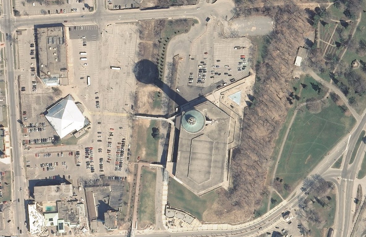
English: Extracted from the link shown, satellite photo of the Skylon Tower. Cropped to remove position info. Scale of 1:2,257 |
|||
| Date | Unknown date, late 2000's | |||
| Source | National Map, http://viewer.nationalmap.gov/viewer/?p=default&b=base2&x=-8803153.870347429&y=5324942.863782297&l=18&sc=&v= | |||
| Author | USGS | |||
| Permission (Reusing this file) |
|
File history
Click on a date/time to view the file as it appeared at that time.
| Date/Time | Thumbnail | Dimensions | User | Comment | |
|---|---|---|---|---|---|
| current | 00:04, 10 September 2012 | | 1,184 × 768 (274 KB) | Oaktree b (talk | contribs) | {{Information |Description ={{en|1=Extracted from the link shown, satellite photo of the Skylon Tower. Cropped to remove position info. Scale of 1:2,257}} |Source =National Map, http://viewer.nationalmap.gov/viewer/?p=default&b=base2&x=-8803... |
You cannot overwrite this file.
File usage on Commons
There are no pages that use this file.