File:Skyline Neighborhood, San Diego, California (15470448427).jpg
Original file (4,000 × 3,000 pixels, file size: 3.65 MB, MIME type: image/jpeg)
Captions
Captions
Summary
[edit].jpg&action=edit§ion=1)
| Description |
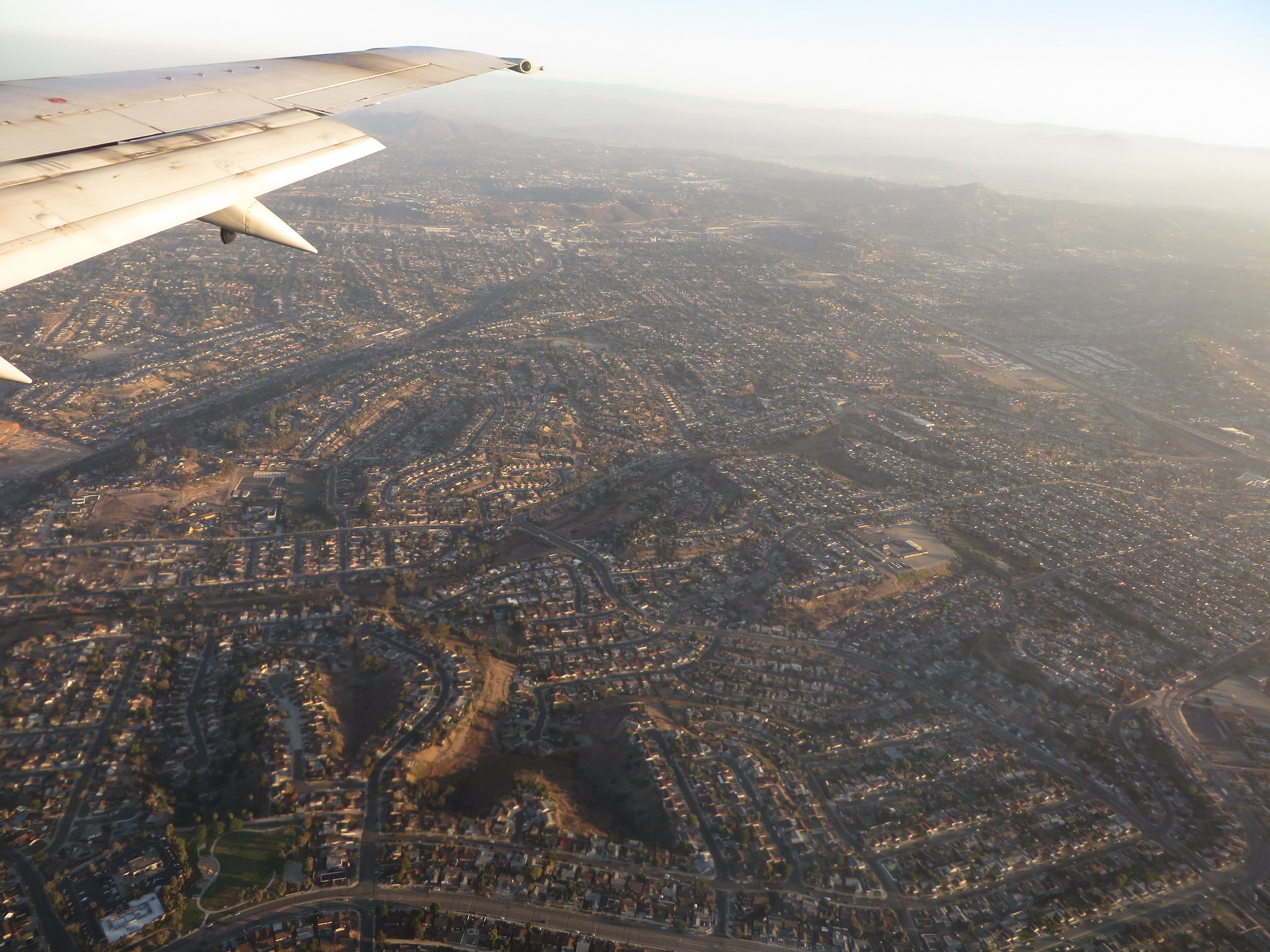
San Diego is a major city in California, on the coast of the Pacific Ocean in Southern California, approximately 120 miles (190 km) south of Los Angeles and immediately adjacent to the border with Mexico. With an estimated population of 1,355,896 as of July 1, 2013, San Diego is the eighth-largest city in the United States and second-largest in California. San Diego is the birthplace of California and is known for its mild year-round climate, natural deep-water harbor, extensive beaches, long association with the U.S. Navy, and recent emergence as a healthcare and biotechnology development center. Historically home to the Kumeyaay people, San Diego was the first site visited by Europeans on what is now the West Coast of the United States. Upon landing in San Diego Bay in 1542, Juan Rodríguez Cabrillo claimed the entire area for Spain, forming the basis for the settlement of Alta California 200 years later. The Presidio and Mission of San Diego, founded in 1769, formed the first European settlement in what is now California. In 1821, San Diego became part of newly independent Mexico, and in 1850, became part of the United States following the Mexican-American War and the admission of California to the union. The city is the seat of San Diego County and is the economic center of the region as well as the San Diego–Tijuana metropolitan area. San Diego's main economic engines are military and defense-related activities, tourism, international trade, and manufacturing. The presence of the University of California, San Diego (UCSD), with the affiliated UCSD Medical Center, has helped make the area a center of research in biotechnology. The largest sectors of San Diego's economy are defense/military, tourism, international trade, and research/manufacturing, respectively. The economy of San Diego is influenced by its deepwater port, which includes the only major submarine and shipbuilding yards on the West Coast. Tourism is a major industry owing to the city's climate, its beaches, and numerous tourist attractions such as Balboa Park, Belmont amusement park, San Diego Zoo, San Diego Zoo Safari Park, and SeaWorld San Diego. San Diego's Spanish and Mexican heritage is reflected in the many historic sites across the city, such as Mission San Diego de Alcala and Old Town San Diego State Historic Park. en.wikipedia.org/wiki/San_Diego en.wikipedia.org/wiki/Wikipedia:Text_of_Creative_Commons_... |
| Date | |
| Source | Skyline Neighborhood, San Diego, California |
| Author | Ken Lund from Reno, Nevada, USA |
| Camera location | | View this and other nearby images on: OpenStreetMap |
|---|
.jpg¶ms=032.696980_N_-117.038564_E_globe:Earth_type:camera_source:Flickr_&language=en)
Licensing
[edit].jpg&action=edit§ion=2)
- You are free:
- to share – to copy, distribute and transmit the work
- to remix – to adapt the work
- Under the following conditions:
- attribution – You must give appropriate credit, provide a link to the license, and indicate if changes were made. You may do so in any reasonable manner, but not in any way that suggests the licensor endorses you or your use.
- share alike – If you remix, transform, or build upon the material, you must distribute your contributions under the same or compatible license as the original.
| This image was originally posted to Flickr by Ken Lund at https://flickr.com/photos/75683070@N00/15470448427. It was reviewed on 4 December 2015 by FlickreviewR and was confirmed to be licensed under the terms of the cc-by-sa-2.0. |
File history
Click on a date/time to view the file as it appeared at that time.
| Date/Time | Thumbnail | Dimensions | User | Comment | |
|---|---|---|---|---|---|
| current | 04:07, 4 December 2015 | | 4,000 × 3,000 (3.65 MB) | INeverCry (talk | contribs) | Transferred from Flickr via Flickr2Commons |
You cannot overwrite this file.
File usage on Commons
There are no pages that use this file.
.jpg&oldid=779381090)