File:Skipsea UK parish locator map.svg
Jump to navigation
Jump to search

Size of this PNG preview of this SVG file: 772 × 600 pixels. Other resolutions: 309 × 240 pixels | 618 × 480 pixels | 989 × 768 pixels | 1,280 × 994 pixels | 2,560 × 1,989 pixels | 1,425 × 1,107 pixels.
Original file (SVG file, nominally 1,425 × 1,107 pixels, file size: 1.68 MB)
Captions
Captions
Add a one-line explanation of what this file represents
| Description |
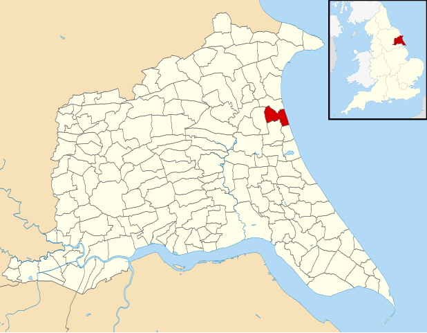
English: Map of the East Riding of Yorkshire, England, with Skipsea parish highlighted.
Equirectangular map projection on WGS 84 datum, with N/S stretched 165% Geographic limits:
|
| Date | |
| Source | File:East Riding of Yorkshire UK parish map (blank).svg |
| Author |
|
| Permission (Reusing this file) |
This file is licensed under the Creative Commons Attribution-Share Alike 3.0 Unported license. Attribution: Contains Ordnance Survey data © Crown copyright and database right
|
.svg)
File history
Click on a date/time to view the file as it appeared at that time.
| Date/Time | Thumbnail | Dimensions | User | Comment | |
|---|---|---|---|---|---|
| current | 19:37, 14 April 2013 | | 1,425 × 1,107 (1.68 MB) | Keith D (talk | contribs) | {{Information |Description={{en|1=Map of the East Riding of Yorkshire, England, with Skipsea parish highlighted. Equirectangular map projection on WGS 84 datum, with N/S stretched 165% Geographic limit... |
You cannot overwrite this file.
File usage on Commons
There are no pages that use this file.
File usage on other wikis
The following other wikis use this file:
- Usage on en.wikipedia.org