File:Skagway-Hoonah-Angoon Census Area, In to the Tunnel.jpg
Jump to navigation
Jump to search
Size of this preview: 800 × 534 pixels. Other resolutions: 320 × 213 pixels | 640 × 427 pixels | 1,024 × 683 pixels | 1,280 × 854 pixels | 2,342 × 1,562 pixels.
Original file (2,342 × 1,562 pixels, file size: 2.4 MB, MIME type: image/jpeg)
Captions
Captions
Add a one-line explanation of what this file represents
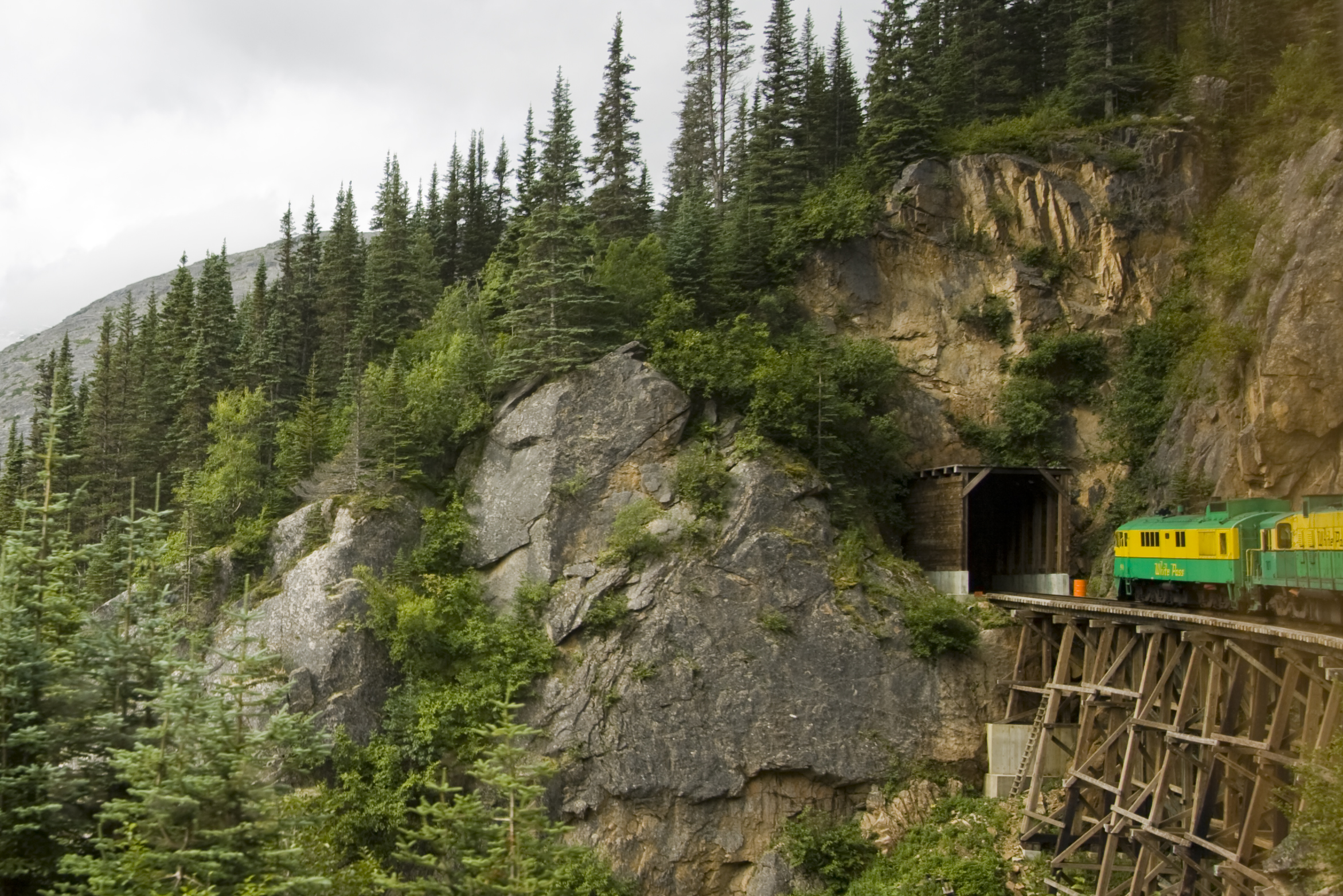
| Description | Skagway-Hoonah-Angoon Census Area, In to the Tunnel | ||
| Date | |||
| Source | Flickr: In to the Tunnel | ||
| Author | ThreeIfByBike | ||
| Permission (Reusing this file) |
This file is licensed under the Creative Commons Attribution-Share Alike 2.0 Generic license.
|
| Camera location | | View this and other nearby images on: OpenStreetMap |
|---|
File history
Click on a date/time to view the file as it appeared at that time.
| Date/Time | Thumbnail | Dimensions | User | Comment | |
|---|---|---|---|---|---|
| current | 08:39, 30 December 2011 | | 2,342 × 1,562 (2.4 MB) | Flickr upload bot (talk | contribs) | Uploaded from http://flickr.com/photo/44375167@N00/2847133900 using Flickr upload bot |
You cannot overwrite this file.
File usage on Commons
The following page uses this file:
File usage on other wikis
The following other wikis use this file:
- Usage on de.wikipedia.org
- Usage on en.wikipedia.org
- Usage on fr.wikipedia.org
- Usage on hsb.wikipedia.org
- Usage on hy.wikipedia.org
- Usage on ru.wikipedia.org
- Usage on tr.wikipedia.org
- Usage on tum.wikipedia.org
- Usage on zh.wikipedia.org