File:Site of Ballingers Lock - geograph.org.uk - 1054670.jpg
Jump to navigation
Jump to search
No higher resolution available.
Site_of_Ballingers_Lock_-_geograph.org.uk_-_1054670.jpg (640 × 480 pixels, file size: 84 KB, MIME type: image/jpeg)
Captions
Captions
Add a one-line explanation of what this file represents
Summary
[edit]
| Description |
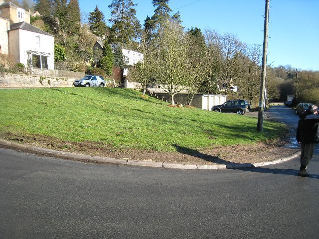
English: Site of Ballingers Lock The Thames & Severn Canal and the main Stroud - Cirencester Road run side by side approaching Chalford. In 1967 some road widening and re-alignment took place over the abandoned canal. At this point a bridge has been demolished and Ballingers Lock has been buried under the patch of grass and the pre-fab garages. |
| Date | |
| Source | From geograph.org.uk |
| Author | David Stowell |
| Attribution (required by the license) | David Stowell / Site of Ballingers Lock / |
| Camera location | | View this and other nearby images on: OpenStreetMap |
|---|
_heading:67.00&language=en)
| Object location | | View this and other nearby images on: OpenStreetMap |
|---|
_heading:67.00&language=en)
Licensing
[edit]

|
This image was taken from the Geograph project collection. See this photograph's page on the Geograph website for the photographer's contact details. The copyright on this image is owned by David Stowell and is licensed for reuse under the Creative Commons Attribution-ShareAlike 2.0 license.
|
This file is licensed under the Creative Commons Attribution-Share Alike 2.0 Generic license.
Attribution: David Stowell
- You are free:
- to share – to copy, distribute and transmit the work
- to remix – to adapt the work
- Under the following conditions:
- attribution – You must give appropriate credit, provide a link to the license, and indicate if changes were made. You may do so in any reasonable manner, but not in any way that suggests the licensor endorses you or your use.
- share alike – If you remix, transform, or build upon the material, you must distribute your contributions under the same or compatible license as the original.
File history
Click on a date/time to view the file as it appeared at that time.
| Date/Time | Thumbnail | Dimensions | User | Comment | |
|---|---|---|---|---|---|
| current | 01:44, 24 February 2011 | | 640 × 480 (84 KB) | GeographBot (talk | contribs) | == {{int:filedesc}} == {{Information |description={{en|1=Site of Ballingers Lock The Thames & Severn Canal and the main Stroud - Cirencester Road run side by side approaching Chalford. In 1967 some road widening and re-alignment took place over the aban |
You cannot overwrite this file.
File usage on Commons
There are no pages that use this file.