File:Sint-Denijs-Boekel - Molenberg 2.jpg
Original file (3,648 × 2,736 pixels, file size: 4.25 MB, MIME type: image/jpeg)
Captions
Summary
[edit]DescriptionSint-Denijs-Boekel - Molenberg 2.jpg |
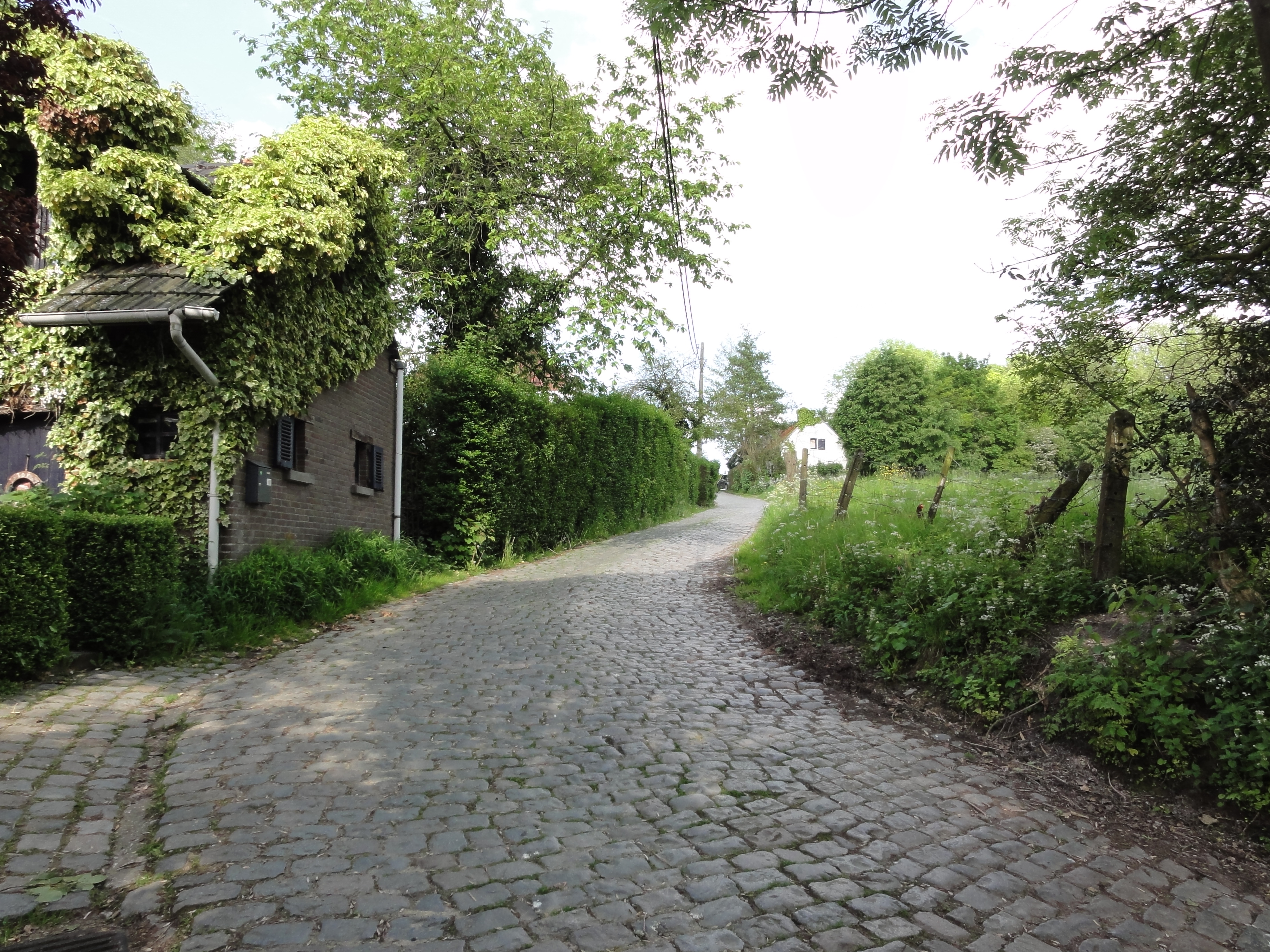
Nederlands: Molenberg in Sint-Denijs-Boekel English: Molenberg cobblestone road and hill in Sint-Denijs-Boekel. Sint-Denijs-Boekel, Zwalm, East Flanders, Belgium
|
||
Date | |||
Source | Own work | ||
Author | LimoWreck |
Camera location | 50° 51′ 30.9″ N, 3° 42′ 01.46″ E | View this and other nearby images on: OpenStreetMap | 50.858583; 3.700406 |
---|
Licensing
[edit]- You are free:
- to share – to copy, distribute and transmit the work
- to remix – to adapt the work
- Under the following conditions:
- attribution – You must give appropriate credit, provide a link to the license, and indicate if changes were made. You may do so in any reasonable manner, but not in any way that suggests the licensor endorses you or your use.
- share alike – If you remix, transform, or build upon the material, you must distribute your contributions under the same or compatible license as the original.
This image was uploaded as part of Wiki Loves Monuments 2012.
Afrikaans ∙ Alemannisch ∙ العربية ∙ جازايرية ∙ azərbaycanca ∙ Bikol Central ∙ беларуская ∙ беларуская (тарашкевіца) ∙ български ∙ বাংলা ∙ brezhoneg ∙ bosanski ∙ català ∙ čeština ∙ Cymraeg ∙ dansk ∙ Deutsch ∙ Zazaki ∙ Ελληνικά ∙ English ∙ Esperanto ∙ español ∙ eesti ∙ euskara ∙ فارسی ∙ suomi ∙ français ∙ Frysk ∙ Gaeilge ∙ galego ∙ עברית ∙ हिन्दी ∙ hrvatski ∙ magyar ∙ հայերեն ∙ Bahasa Indonesia ∙ Ido ∙ italiano ∙ 日本語 ∙ ქართული ∙ 한국어 ∙ кыргызча ∙ Lëtzebuergesch ∙ latviešu ∙ Malagasy ∙ македонски ∙ മലയാളം ∙ Bahasa Melayu ∙ Malti ∙ norsk bokmål ∙ नेपाली ∙ Nederlands ∙ norsk nynorsk ∙ norsk ∙ polski ∙ português ∙ português do Brasil ∙ română ∙ русский ∙ sicilianu ∙ davvisámegiella ∙ slovenčina ∙ slovenščina ∙ shqip ∙ српски / srpski ∙ svenska ∙ ไทย ∙ Tagalog ∙ Türkçe ∙ українська ∙ اردو ∙ oʻzbekcha / ўзбекча ∙ Yorùbá ∙ 中文 ∙ 中文(中国大陆) ∙ 中文(简体) ∙ 中文(繁體) ∙ 中文(香港) ∙ 中文(臺灣) ∙ +/− |
File history
Click on a date/time to view the file as it appeared at that time.
Date/Time | Thumbnail | Dimensions | User | Comment | |
---|---|---|---|---|---|
current | 17:24, 30 September 2012 | 3,648 × 2,736 (4.25 MB) | LimoWreck (talk | contribs) | =={{int:filedesc}}== {{Information |description={{nl|1=Molenberg in Sint-Denijs-Boekel}}{{en|1=Molenberg cobblestone road and hill in Sint-Denijs-Boekel. Sint-Denijs-Boekel, Zwalm, East Flanders, Belgium}}{{Onroerend erfgoed|200868}} |date=2012-05-19 |... |
You cannot overwrite this file.
File usage on Commons
The following 2 pages use this file:
File usage on other wikis
The following other wikis use this file:
- Usage on ar.wikipedia.org
- Usage on arz.wikipedia.org
- Usage on ceb.wikipedia.org
- Usage on da.wikipedia.org
- Usage on en.wikipedia.org
- Usage on fr.wikipedia.org
- Usage on it.wikipedia.org
- Usage on lld.wikipedia.org
- Usage on nl.wikipedia.org
- Usage on ru.wikipedia.org
- Usage on www.wikidata.org
Metadata
This file contains additional information such as Exif metadata which may have been added by the digital camera, scanner, or software program used to create or digitize it. If the file has been modified from its original state, some details such as the timestamp may not fully reflect those of the original file. The timestamp is only as accurate as the clock in the camera, and it may be completely wrong.
Camera manufacturer | SONY |
---|---|
Camera model | DSC-HX5V |
Exposure time | 1/320 sec (0.003125) |
F-number | f/3.5 |
ISO speed rating | 125 |
Date and time of data generation | 17:11, 19 May 2012 |
Lens focal length | 4.25 mm |
Latitude | 50° 51′ 30.9″ N |
Longitude | 3° 42′ 1.46″ E |
Altitude | 13.6 meters above sea level |
Orientation | Normal |
Horizontal resolution | 72 dpi |
Vertical resolution | 72 dpi |
File change date and time | 17:11, 19 May 2012 |
Y and C positioning | Co-sited |
Exposure Program | Normal program |
Exif version | 2.21 |
Date and time of digitizing | 17:11, 19 May 2012 |
Meaning of each component |
|
Image compression mode | 4 |
APEX exposure bias | 0 |
Maximum land aperture | 3.625 APEX (f/3.51) |
Metering mode | Pattern |
Light source | Unknown |
Flash | Flash did not fire, compulsory flash suppression |
Supported Flashpix version | 1 |
Color space | sRGB |
File source | Digital still camera |
Scene type | A directly photographed image |
Custom image processing | Normal process |
Exposure mode | Auto exposure |
White balance | Auto white balance |
Scene capture type | Standard |
Contrast | Normal |
Saturation | Normal |
Sharpness | Normal |
GPS time (atomic clock) | 15:11:35.976 |
Receiver status | Measurement in progress |
Measurement mode | 3-dimensional measurement |
Speed unit | Kilometers per hour |
Speed of GPS receiver | 2.5 |
Reference for direction of movement | True direction |
Direction of movement | 7.67 |
Reference for direction of image | Magnetic direction |
Direction of image | 73.75 |
Geodetic survey data used | WGS-84 |
GPS date | 19 May 2012 |
GPS differential correction | 0 |
GPS tag version | 0.0.2.2 |
Structured data
Items portrayed in this file
depicts
19 May 2012
50°51'30.899"N, 3°42'1.462"E
0.003125 second
3.5
4.25 millimetre
125
image/jpeg
4,453,562 byte
2,736 pixel
3,648 pixel
269f559facd50fd9b9b1968ca84a8bc5323a8c64
- Onroerend erfgoed with known IDs
- Files with coordinates missing SDC location of creation (50° N, 3° E)
- CC-BY-SA-3.0
- Self-published work
- Images from Wiki Loves Monuments 2012
- Images from Wiki Loves Monuments 2012 in Belgium
- Images from Wiki Loves Monuments missing SDC depicts
- Images from Wiki Loves Monuments missing SDC location of creation
- Belgium photographs taken on 2012-05-19