File:Sinis archaeology map.png
Jump to navigation
Jump to search

Size of this preview: 800 × 596 pixels. Other resolutions: 320 × 238 pixels | 640 × 477 pixels | 1,024 × 763 pixels | 1,278 × 952 pixels.
Original file (1,278 × 952 pixels, file size: 487 KB, MIME type: image/png)
Captions
Captions
Add a one-line explanation of what this file represents
Summary
[edit]
| Description |
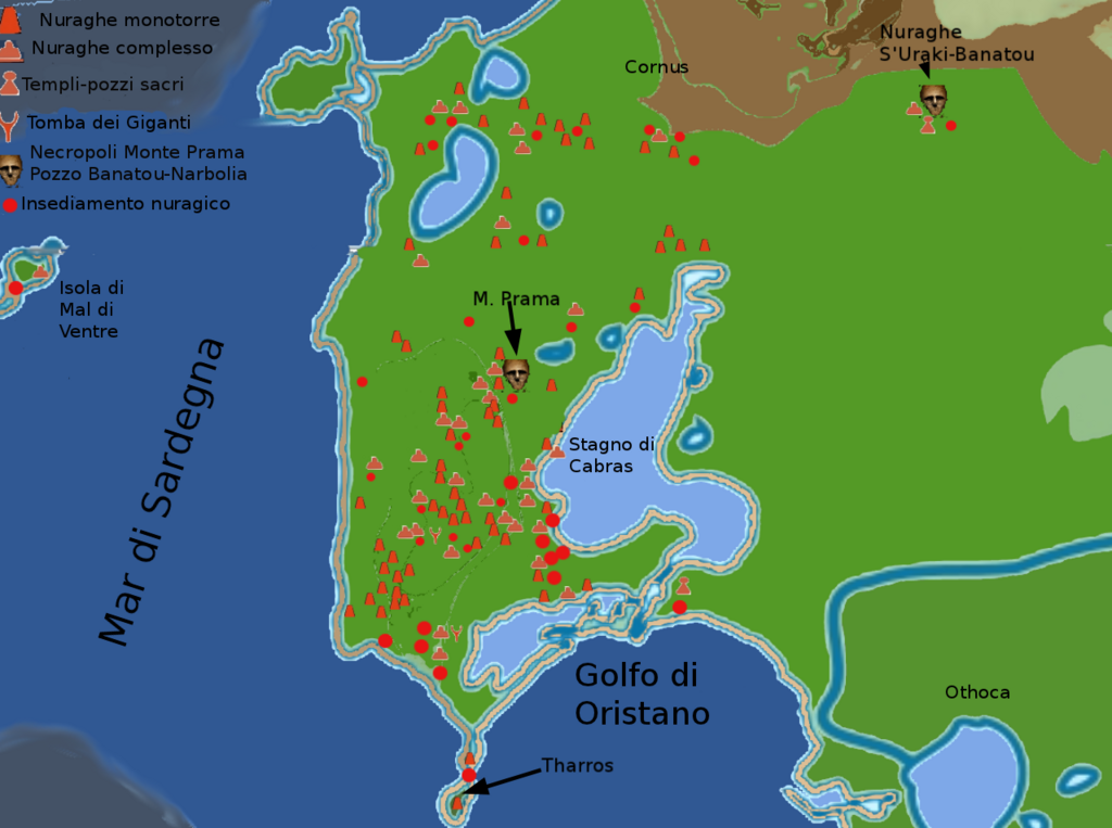
Italiano: mappa dei siti archeologici del Sinis, Golfo di Oristano, Monte Prama English: Sinis archaeology map, Monte Prama |
| Date | |
| Source | Own work |
| Author | DedaloNur |
Licensing
[edit]
I, the copyright holder of this work, hereby publish it under the following license:
This file is licensed under the Creative Commons Attribution-Share Alike 3.0 Unported license.
- You are free:
- to share – to copy, distribute and transmit the work
- to remix – to adapt the work
- Under the following conditions:
- attribution – You must give appropriate credit, provide a link to the license, and indicate if changes were made. You may do so in any reasonable manner, but not in any way that suggests the licensor endorses you or your use.
- share alike – If you remix, transform, or build upon the material, you must distribute your contributions under the same or compatible license as the original.
File history
Click on a date/time to view the file as it appeared at that time.
| Date/Time | Thumbnail | Dimensions | User | Comment | |
|---|---|---|---|---|---|
| current | 21:51, 24 April 2012 | | 1,278 × 952 (487 KB) | DedaloNur (talk | contribs) | didascalia |
| 19:13, 24 April 2012 |  | 1,278 × 952 (484 KB) | DedaloNur (talk | contribs) | grafica didascalia | |
| 19:01, 24 April 2012 |  | 1,278 × 952 (470 KB) | DedaloNur (talk | contribs) | grafica, didascalie in italiano | |
| 18:49, 12 February 2012 |  | 1,280 × 1,024 (434 KB) | DedaloNur (talk | contribs) |
You cannot overwrite this file.
File usage on Commons
There are no pages that use this file.
File usage on other wikis
The following other wikis use this file:
- Usage on fr.wikipedia.org
- Usage on it.wikivoyage.org
- Usage on la.wikipedia.org
- Usage on sc.wikipedia.org