File:Simpson Springs improved campfire ring.jpg
Jump to navigation
Jump to search

Size of this preview: 337 × 599 pixels. Other resolutions: 135 × 240 pixels | 270 × 480 pixels | 432 × 768 pixels | 576 × 1,024 pixels | 2,296 × 4,080 pixels.
Original file (2,296 × 4,080 pixels, file size: 2.7 MB, MIME type: image/jpeg)
Captions
Captions
Add a one-line explanation of what this file represents
Summary
[edit]
| Description |
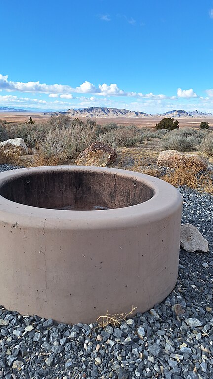
English: Simpson Springs improved campfire ring |
| Date | |
| Source | https://www.flickr.com/photos/blmutah/53503220566/ |
| Author | Bureau of Land Management - Utah |
| Camera location | | View this and other nearby images on: OpenStreetMap |
|---|
Licensing
[edit]
| This image was originally posted to Flickr by BLMUtah at https://flickr.com/photos/76340031@N02/53503220566. It was reviewed on 13 February 2024 by FlickreviewR 2 and was confirmed to be licensed under the terms of the Public Domain Mark. |
| This image is a work of a Bureau of Land Management* employee, taken or made as part of that person's official duties. As a work of the U.S. federal government, the image is in the public domain in the United States. *or predecessor organization |
File history
Click on a date/time to view the file as it appeared at that time.
| Date/Time | Thumbnail | Dimensions | User | Comment | |
|---|---|---|---|---|---|
| current | 08:28, 13 February 2024 | | 2,296 × 4,080 (2.7 MB) | Юрий Д.К. (talk | contribs) | Uploaded a work by Bureau of Land Management - Utah from https://www.flickr.com/photos/blmutah/53503220566/ with UploadWizard |
You cannot overwrite this file.
File usage on Commons
There are no pages that use this file.