File:Silverdale Station (Disused) (geograph 6342297).jpg
Jump to navigation
Jump to search
Size of this preview: 800 × 533 pixels. Other resolutions: 320 × 213 pixels | 640 × 427 pixels | 1,024 × 682 pixels | 1,280 × 853 pixels | 2,000 × 1,333 pixels.
Original file (2,000 × 1,333 pixels, file size: 3.36 MB, MIME type: image/jpeg)
Captions
Captions
Add a one-line explanation of what this file represents
Summary
[edit]_(geograph_6342297).jpg&action=edit§ion=1)
| Description |
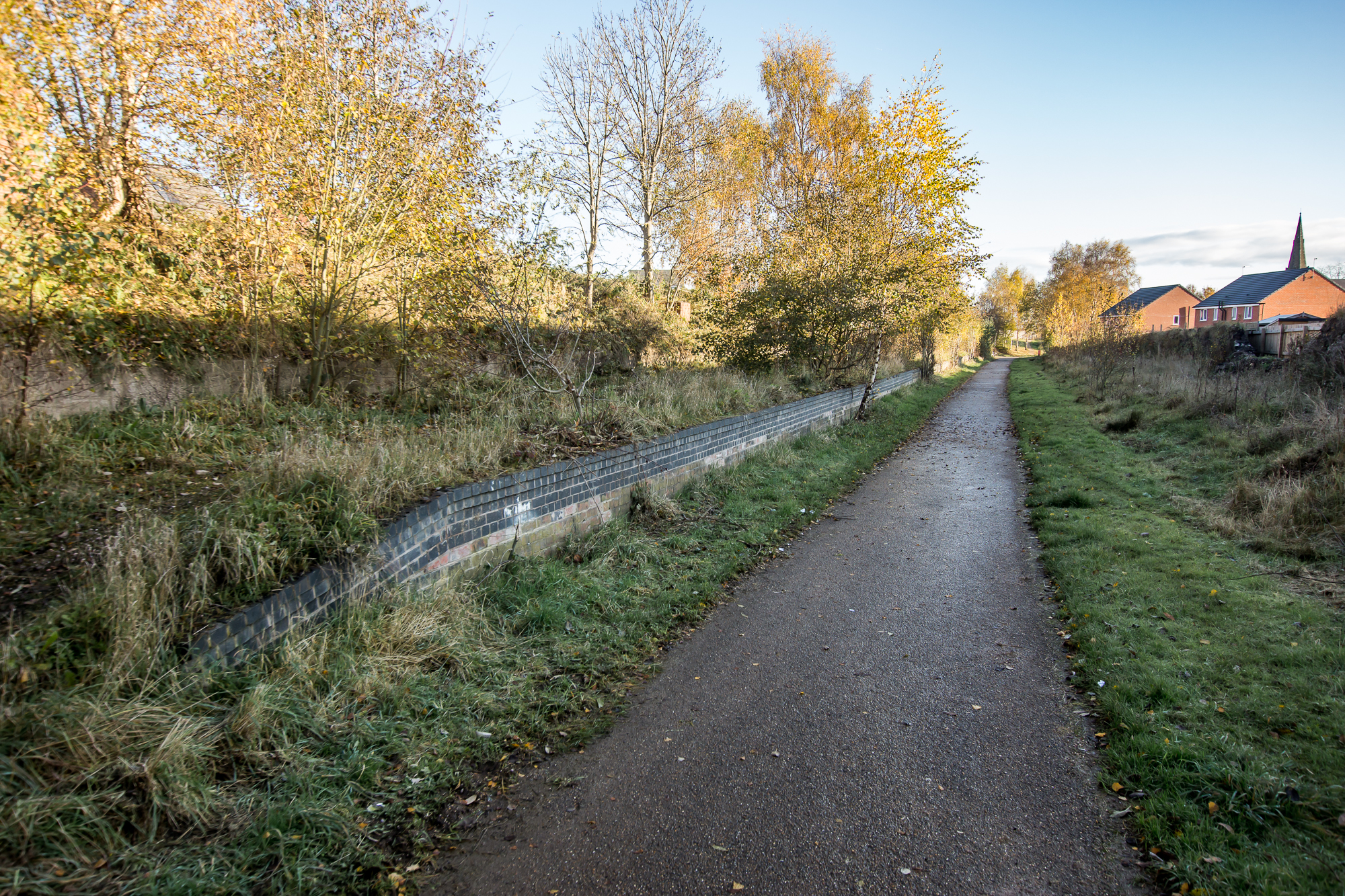
English: Silverdale Station (Disused) Silverdale railway station was a railway station that served the village of Silverdale, Staffordshire, England. It was opened by the North Staffordshire Railway in 1863 and closed to passengers in 1964. Today, only the restored platforms are still in place. The station building has been rebuilt at the Apedale Heritage Centre. |
| Date | |
| Source | From geograph.org.uk |
| Author | Brian Deegan |
| Permission (Reusing this file) |
Creative Commons Attribution Share-alike license 2.0 |
| Attribution (required by the license) | Brian Deegan / Silverdale Station (Disused) / |
| Camera location | | View this and other nearby images on: OpenStreetMap |
|---|
_(geograph_6342297).jpg¶ms=053.016736_N_-002.277512_E_globe:Earth_type:camera_source:geograph-osgb36(SJ81484664)_heading:67.00&language=en)
| Object location | | View this and other nearby images on: OpenStreetMap |
|---|
_(geograph_6342297).jpg¶ms=053.016920_N_-002.276770_E_globe:Earth_class:object_type:object_source:geograph-osgb36(SJ81534666)_heading:67.00&language=en)
Licensing
[edit]_(geograph_6342297).jpg&action=edit§ion=2)

|
This image was taken from the Geograph project collection. See this photograph's page on the Geograph website for the photographer's contact details. The copyright on this image is owned by Brian Deegan and is licensed for reuse under the Creative Commons Attribution-ShareAlike 2.0 license.
|
This file is licensed under the Creative Commons Attribution-Share Alike 2.0 Generic license.
Attribution: Brian Deegan
- You are free:
- to share – to copy, distribute and transmit the work
- to remix – to adapt the work
- Under the following conditions:
- attribution – You must give appropriate credit, provide a link to the license, and indicate if changes were made. You may do so in any reasonable manner, but not in any way that suggests the licensor endorses you or your use.
- share alike – If you remix, transform, or build upon the material, you must distribute your contributions under the same or compatible license as the original.
File history
Click on a date/time to view the file as it appeared at that time.
| Date/Time | Thumbnail | Dimensions | User | Comment | |
|---|---|---|---|---|---|
| current | 15:44, 6 November 2020 | | 2,000 × 1,333 (3.36 MB) | Lamberhurst (talk | contribs) | Transferred from geograph.co.uk using [https://tools.wmflabs.org/geograph2commons/ geograph2commons] |
You cannot overwrite this file.
File usage on Commons
The following page uses this file:
_(geograph_6342297).jpg&oldid=920899631)