File:Colliery railway, Beamish Museum, 13 April 2012.jpg
(Redirected from File:Shunting at the Colliery Railway (geograph 2906160).jpg)
.jpg&redirect=no)

Size of this preview: 800 × 600 pixels. Other resolutions: 320 × 240 pixels | 640 × 480 pixels | 1,024 × 768 pixels.
Original file (1,024 × 768 pixels, file size: 173 KB, MIME type: image/jpeg)
Captions
Captions
Add a one-line explanation of what this file represents
Summary
[edit]
| Description |
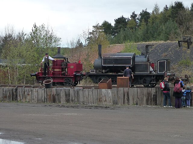
English: Beamish Museum, County Durham, England. Shunting on the Colliery railway - this is the view east across the tracks in the main yard (spoil heap in the background). |
| Date | |
| Source | From geograph.org.uk |
| Author | Christine Johnstone |
| Permission (Reusing this file) |
Creative Commons Attribution Share-alike license 2.0 |
| Attribution (required by the license) | Christine Johnstone / Shunting at the Colliery Railway / |
| Camera location | | View this and other nearby images on: OpenStreetMap |
|---|
| Object location | | View this and other nearby images on: OpenStreetMap |
|---|
_region:GB-GBN_heading:22.00&language=en)
Licensing
[edit]

|
This image was taken from the Geograph project collection. See this photograph's page on the Geograph website for the photographer's contact details. The copyright on this image is owned by Christine Johnstone and is licensed for reuse under the Creative Commons Attribution-ShareAlike 2.0 license.
|
This file is licensed under the Creative Commons Attribution-Share Alike 2.0 Generic license.
Attribution: Christine Johnstone
- You are free:
- to share – to copy, distribute and transmit the work
- to remix – to adapt the work
- Under the following conditions:
- attribution – You must give appropriate credit, provide a link to the license, and indicate if changes were made. You may do so in any reasonable manner, but not in any way that suggests the licensor endorses you or your use.
- share alike – If you remix, transform, or build upon the material, you must distribute your contributions under the same or compatible license as the original.
File history
Click on a date/time to view the file as it appeared at that time.
| Date/Time | Thumbnail | Dimensions | User | Comment | |
|---|---|---|---|---|---|
| current | 00:02, 25 April 2014 | | 1,024 × 768 (173 KB) | File Upload Bot (Magnus Manske) (talk | contribs) | Transferred from Geograph by User:Ultra7 |
You cannot overwrite this file.
File usage on Commons
The following 4 pages use this file:
,_Colliery_railway,_Beamish_Museum,_13_April_2012.jpg)