File:Shropshire Union Canal, SW of Nantwich - geograph.org.uk - 256806.jpg
Jump to navigation
Jump to search
No higher resolution available.
Shropshire_Union_Canal,_SW_of_Nantwich_-_geograph.org.uk_-_256806.jpg (640 × 455 pixels, file size: 148 KB, MIME type: image/jpeg)
Captions
Captions
Add a one-line explanation of what this file represents
Summary
[edit]
| Description |
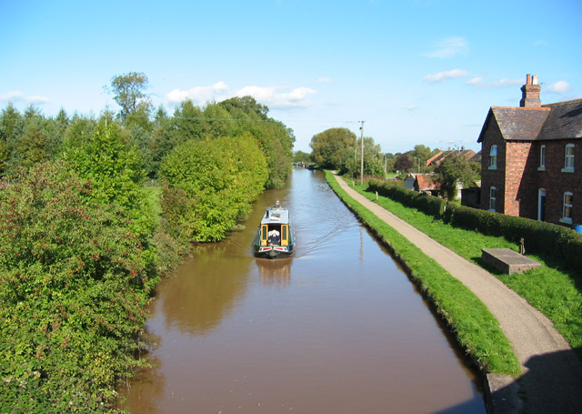
English: Shropshire Union Canal, SW of Nantwich. The main line of the Shropshire Union forms a western boundary to the town of Nantwich. The belt of conifer trees on left of frame are part of a small linear plantation. The large brick house on the right considerably pre-dates the housing estate to its east. View north from the bridge on Marsh Lane (to Ravensmoor) |
| Date | |
| Source | From geograph.org.uk |
| Author | Espresso Addict |
| Attribution (required by the license) | Espresso Addict / Shropshire Union Canal, SW of Nantwich / |
| Camera location | | View this and other nearby images on: OpenStreetMap |
|---|
_heading:22.00&language=en)
| Object location | | View this and other nearby images on: OpenStreetMap |
|---|
_heading:22.00&language=en)
Licensing
[edit]

|
This image was taken from the Geograph project collection. See this photograph's page on the Geograph website for the photographer's contact details. The copyright on this image is owned by Espresso Addict and is licensed for reuse under the Creative Commons Attribution-ShareAlike 2.0 license.
|
This file is licensed under the Creative Commons Attribution-Share Alike 2.0 Generic license.
Attribution: Espresso Addict
- You are free:
- to share – to copy, distribute and transmit the work
- to remix – to adapt the work
- Under the following conditions:
- attribution – You must give appropriate credit, provide a link to the license, and indicate if changes were made. You may do so in any reasonable manner, but not in any way that suggests the licensor endorses you or your use.
- share alike – If you remix, transform, or build upon the material, you must distribute your contributions under the same or compatible license as the original.
File history
Click on a date/time to view the file as it appeared at that time.
| Date/Time | Thumbnail | Dimensions | User | Comment | |
|---|---|---|---|---|---|
| current | 17:38, 25 August 2010 | | 640 × 455 (148 KB) | GeographBot (talk | contribs) | == {{int:filedesc}} == {{Information |description={{en|1=Shropshire Union Canal, SW of Nantwich The main line of the Shropshire Union forms a western boundary to the town of Nantwich. The belt of conifer trees on left of frame are part of a small linear p |
You cannot overwrite this file.
File usage on Commons
There are no pages that use this file.